
| Distance / Altitude | Location | Report Date / Time | Live Weather | Wind | Gusts | Temp. | Visibility | Cloud |
|---|---|---|---|---|---|---|---|---|
| 3 km E / 3 m | SHIP10507 (Marine) | 2024-05-03 14:00 local (2024/05/03 18:00 GMT) | - (- km/h at -) | 30°C | - | |||
| 16 km ESE / 175 m | Grantley Adams International Airport (Barbados) | 2024-05-03 14:00 local (2024/05/03 18:00 GMT) | no report | moderate winds from the ESE (22 km/h at 110) | 31°C | 30 | few - - | |
| 160 km W / 10 m | HewanorraIntl Airport (Saint Lucia) | 2024-05-03 14:00 local (2024/05/03 18:00 GMT) | Widespread dust in suspension not raised by wind | moderate winds from the ESE (28 km/h at 120) | 32°C | 49 km | scattered | |
| 160 km W / 188 m | Hewanorra International Airport (Lesser Antilles) | 2024-05-03 14:00 local (2024/05/03 18:00 GMT) | - | moderate winds from the ESE (28 km/h at 120) | 32°C | 10.0 | few | |
| 165 km WSW / 41 m | Argyle International Airport (Saint Vincent and the Grenadines) | 2024-05-03 14:00 local (2024/05/03 18:00 GMT) | Dry and partly cloudy | light winds from the E (9 km/h at 90) | 30°C | 10.0 | broken |
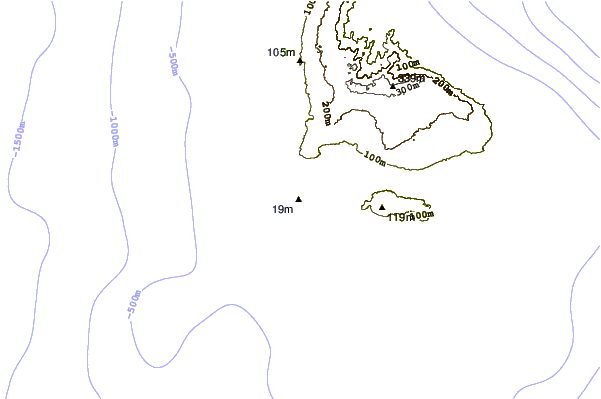
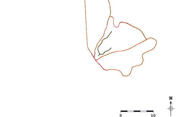
| Contours: | Roads & Rivers: | Select a
tide station / surf break / city |
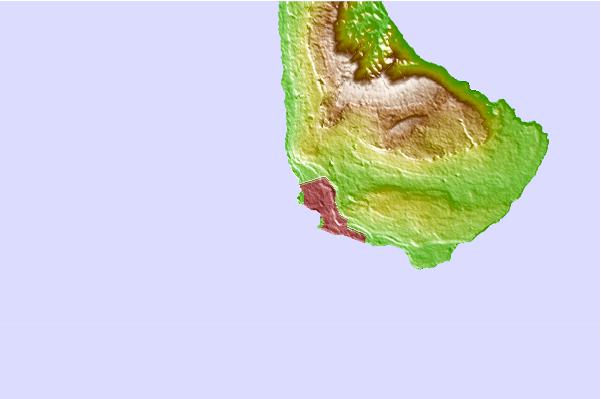
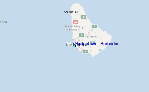
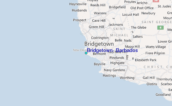
Use this relief map to navigate to tide stations, surf breaks and cities that are in the area of Bridgetown, Barbados.
Other Nearby Locations' tide tables and tide charts to Bridgetown, Barbados:
click location name for more details
 Surf breaks close to Bridgetown, Barbados:
|
||
|---|---|---|
| Closest surf break | Bridgetown Harbour | 1 mi |
| Second closest surf break | Paradise Beach | 2 mi |
| Third closest surf break | Thunder | 2 mi |
| Fourth closest surf break | Accra Beach - Rockley Beach | 3 mi |
| Fifth closest surf break | Batts Rock | 3 mi |

 Nearest
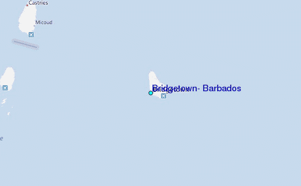