
| Distance / Altitude | Location | Report Date / Time | Live Weather | Wind | Gusts | Temp. | Visibility | Cloud |
|---|---|---|---|---|---|---|---|---|
| 19 km SSW / -3 m | Amsterdam AP Schiphol (Netherlands) | 2024-04-28 09:00 local (2024/04/28 07:00 GMT) | State of sky unchanged | light winds from the SE (18 km/h at 140) | 14°C | 45 km | - overcast - | |
| 23 km SSW / 218 m | Amsterdam/Schiphool International Airport (Netherlands) | 2024-04-28 08:25 local (2024/04/28 06:25 GMT) | - | moderate winds from the SSE.(Wind varies from 130 to 190 degs) (28 km/h at 160) | 14°C | 10.0 | few | |
| 23 km SE / 10 m | Huizen (Netherlands) | 2024-04-28 09:09 local (2024/04/28 07:09 GMT) | - | calm (0 km/h at 222) | — | - | - - 0 | |
| 23 km N / -2 m | Berkenhout (Netherlands) | 2024-04-28 07:00 local (2024/04/28 05:00 GMT) | Clear skies | moderate winds from the SSE (22 km/h at 150) | 13°C | 45 km | - no observation - | |
| 25 km NNE / 1 m | WijdenesWP (Netherlands) | 2024-04-28 07:00 local (2024/04/28 05:00 GMT) | - | moderate winds from the SE (25 km/h at 130) | — | - | no observation |
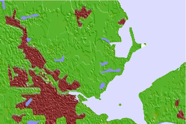
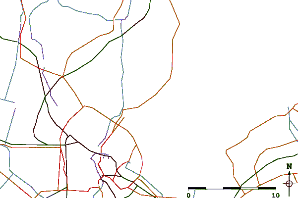
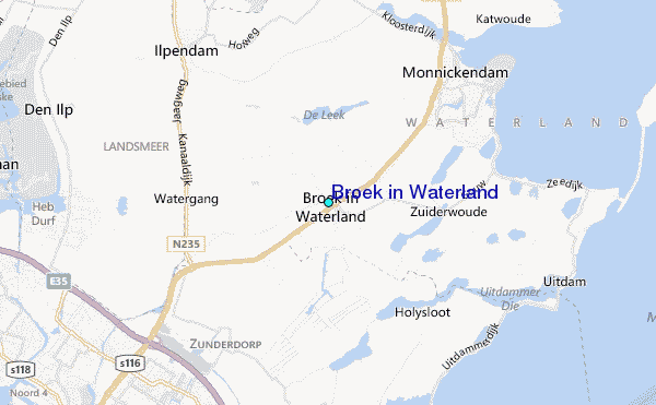
| Contours: | Roads & Rivers: | Select a
tide station / surf break / city |

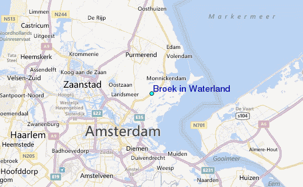
Use this relief map to navigate to tide stations, surf breaks and cities that are in the area of Broek in Waterland.
Other Nearby Locations' tide tables and tide charts to Broek in Waterland:
click location name for more details
 Surf breaks close to Broek in Waterland:
|
||
|---|---|---|
| Closest surf break | Wijk aan Zee Noordpier | 18 mi |
| Second closest surf break | Egmond aan Zee | 20 mi |
| Third closest surf break | Zandvoort | 21 mi |
| Fourth closest surf break | Bergen aan Zee | 22 mi |
| Fifth closest surf break | Petten | 28 mi |

 Nearest
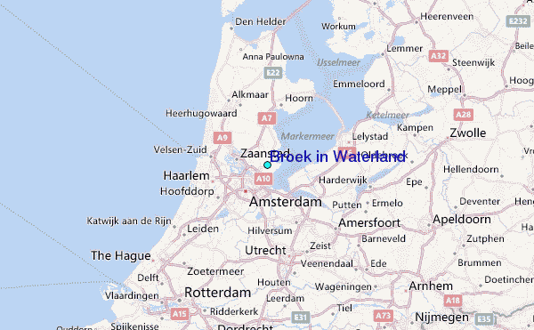