
| Distance / Altitude | Location | Report Date / Time | Live Weather | Wind | Gusts | Temp. | Visibility | Cloud |
|---|---|---|---|---|---|---|---|---|
| 22 km W / 12 m | Lossiemouth RAF Airport (United Kingdom) | 2024-04-27 23:00 local (2024/04/27 22:00 GMT) | - | light winds from the ESE (11 km/h at 120) | 6°C | 35 km | overcast | |
| 36 km WSW / 216 m | Kinloss RAF Airport (United Kingdom) | 2024-04-27 22:20 local (2024/04/27 21:20 GMT) | Light rain | light winds from the ESE (7 km/h at 110) | 6°C | 10.0 | broken broken | |
| 36 km WSW / 7 m | Kinloss (United Kingdom) | 2024-04-27 23:00 local (2024/04/27 22:00 GMT) | Rain and snow or hail | light winds from the ESE (7 km/h at 110) | 5°C | >70 km | overcast | |
| 40 km NW / 3 m | Moray Firth WaveNet Site (Marine) | 2024-04-27 22:30 local (2024/04/27 21:30 GMT) | - (- km/h at -) | — | - | |||
| 45 km WSW / 3 m | SHIP6843 (Marine) | 2024-04-27 21:00 local (2024/04/27 20:00 GMT) | - (- km/h at -) | — | - |
| Contours: | Roads & Rivers: | Select a
tide station / surf break / city |
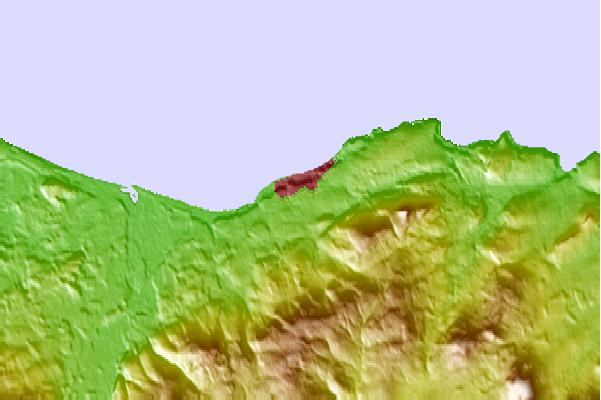
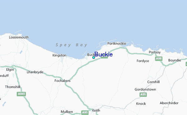
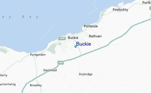
Use this relief map to navigate to tide stations, surf breaks and cities that are in the area of Buckie.
Other Nearby Locations' tide tables and tide charts to Buckie:
click location name for more details
 Surf breaks close to Buckie:
|
||
|---|---|---|
| Closest surf break | Spey Bay | 5 mi |
| Second closest surf break | Cullen | 6 mi |
| Third closest surf break | Sandend Bay | 8 mi |
| Fourth closest surf break | Lossiemouth | 11 mi |
| Fifth closest surf break | Boyndie Bay | 15 mi |

 Nearest
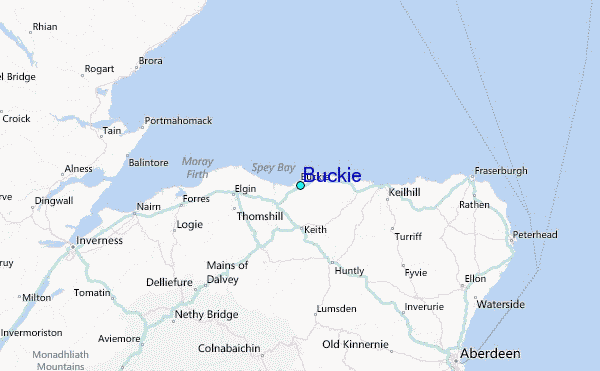