
| Distance / Altitude | Location | Report Date / Time | Live Weather | Wind | Gusts | Temp. | Visibility | Cloud |
|---|---|---|---|---|---|---|---|---|
| 7 km E / 129 m | Malacca (Malaysia) | 2024-04-28 02:00 local (2024/04/27 18:00 GMT) | Thunderstorm - | calm (2 km/h at 1) | 27°C | 10.0 | few scattered - | |
| 41 km SSE / 15 m | SHIP2278 (Marine) | 2024-04-28 02:00 local (2024/04/27 18:00 GMT) | strong winds from the SSW (39.6 km/h at 200) | — | - km | |||
| 75 km WNW / 17 m | KualaLumpurInternational Airport (Klia) (Malaysia) | 2024-04-28 02:00 local (2024/04/27 18:00 GMT) | Lightning visible, no thunder heard | calm (4 km/h at 20) | 27°C | 28 km | mostly cloudy | |
| 119 km WNW / 22 m | Sultan Abdul Aziz Shah Airport (Malaysia) | 2024-04-28 02:00 local (2024/04/27 18:00 GMT) | Lightning visible, no thunder heard | calm (2 km/h at 160) | 27°C | 26 km | - mostly cloudy - | |
| 86 km SSE / - m | SHIP8386 (ocean) | 2024-04-28 00:00 local (2024/04/27 16:00 GMT) | No report | near gales from the S (54 km/h at 170) | 34°C | - | no observation |
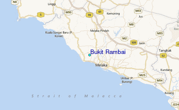
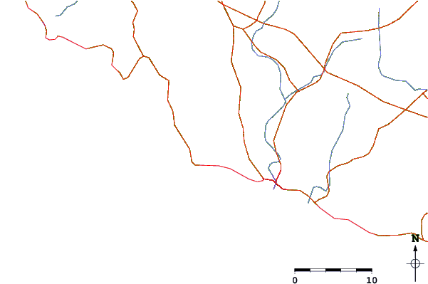
| Contours: | Roads & Rivers: | Select a
tide station / surf break / city |
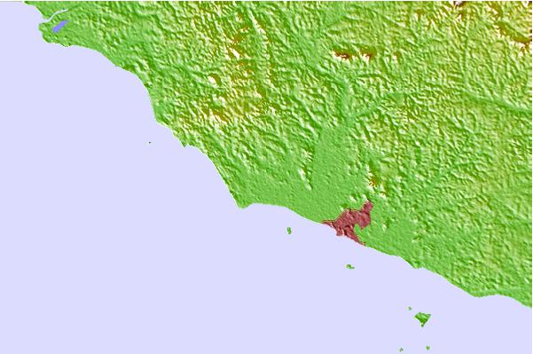
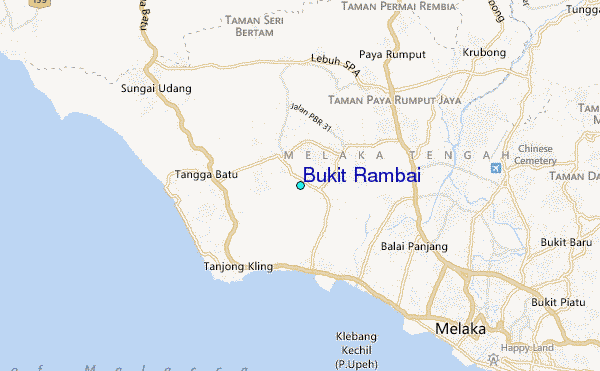
Use this relief map to navigate to tide stations, surf breaks and cities that are in the area of Bukit Rambai.
Other Nearby Locations' tide tables and tide charts to Bukit Rambai:
click location name for more details
 Surf breaks close to Bukit Rambai:
|
||
|---|---|---|
| Closest surf break | Tioman Island | 145 mi |
| Second closest surf break | Cherating | 154 mi |
| Third closest surf break | Kijal | 170 mi |
| Fourth closest surf break | Kelulut (Marang) | 214 mi |
| Fifth closest surf break | Batu Buruk | 223 mi |

 Nearest
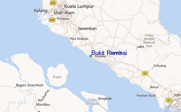