
| Distance / Altitude | Location | Report Date / Time | Live Weather | Wind | Gusts | Temp. | Visibility | Cloud |
|---|---|---|---|---|---|---|---|---|
| 10 km NE / 212 m | Bushehr Airport (Iran, Islamic Rep) | 2024-04-29 16:30 local (2024/04/29 12:00 GMT) | Dry and partly cloudy | light winds from the WNW (11 km/h at 300) | 33°C | 10.0 | few broken | |
| 59 km WNW / 6 m | Khark Island Airport (Iran) | 2024-04-29 16:30 local (2024/04/29 12:00 GMT) | Dry and partly cloudy | calm (0 km/h at 0) | 32°C | 8.0 | few scattered | |
| 161 km N / 601 m | Gach Saran Airport (Iran, Islamic Rep) | 2024-04-29 16:30 local (2024/04/29 12:00 GMT) | Dry and partly cloudy | light winds from the W (19 km/h at 270) | 31°C | 10.0 | scattered broken | |
| 189 km ENE / 1501 m | Shiraz Airport (Iran, Islamic Rep) | 2024-04-29 17:00 local (2024/04/29 12:30 GMT) | - | light winds from the NNW (11 km/h at 340) | 27°C | 10.0 | few | |
| 198 km SE / 663 m | Jam Airport (Iran) | 2024-04-29 16:30 local (2024/04/29 12:00 GMT) | Dry and partly cloudy | light winds from the WSW (11 km/h at 240) | 32°C | 10.0 | scattered |
| Contours: | Roads & Rivers: | Select a
tide station / surf break / city |
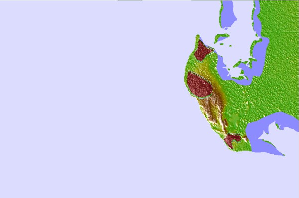
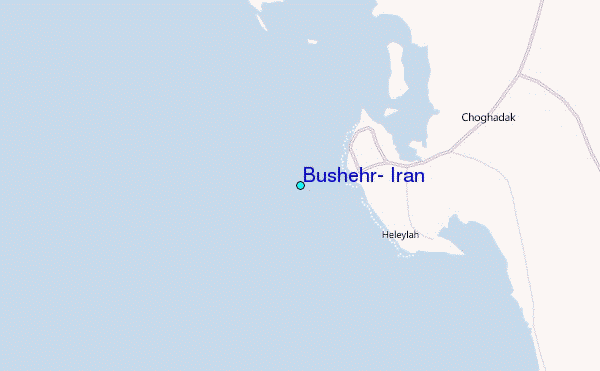
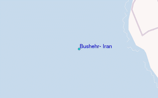
Use this relief map to navigate to tide stations, surf breaks and cities that are in the area of Bushehr, Iran.
Other Nearby Locations' tide tables and tide charts to Bushehr, Iran:
click location name for more details
 Surf breaks close to Bushehr, Iran:
|
||
|---|---|---|
| Closest surf break | Mangaf | 158 mi |
| Second closest surf break | Jebal Ali Lefts | 376 mi |
| Third closest surf break | Jumeirah Beach | 377 mi |
| Fourth closest surf break | Al Hamra - Ras Al Khema | 380 mi |
| Fifth closest surf break | Tim's Reef | 418 mi |

 Nearest
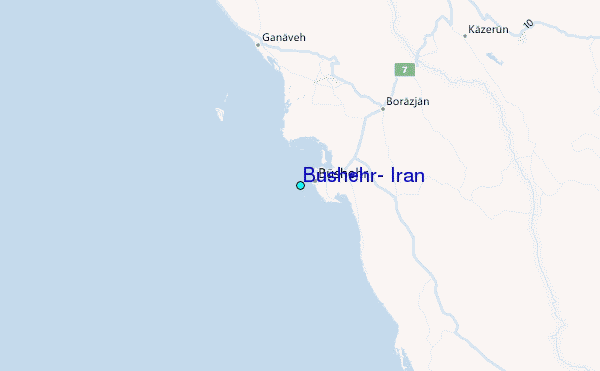