
| Distance / Altitude | Location | Report Date / Time | Live Weather | Wind | Gusts | Temp. | Visibility | Cloud |
|---|---|---|---|---|---|---|---|---|
| 32 km N / 216 m | Petersburg Airport (Alaska) | 2024-05-05 21:56 local (2024/05/06 05:56 GMT) | Light rain | light winds from the N (6 km/h at 1) | 6°C | 16 | few overcast | |
| 43 km E / 3 m | BUOY-WGXA2 (Marine) | 2024-05-05 23:03 local (2024/05/06 07:03 GMT) | calm (4 km/h at 150) | 6°C | - | |||
| 43 km E / 215 m | Wrangell Airport (Alaska) | 2024-05-05 21:56 local (2024/05/06 05:56 GMT) | Light rain | calm (0 km/h at 0) | 7°C | 11 | few broken overcast | |
| 58 km SSE / 3 m | BUOY-LCNA2 (Marine) | 2024-05-05 22:10 local (2024/05/06 06:10 GMT) | light winds from the E (8 km/h at 80) | 7°C | - | |||
| 72 km WNW / 215 m | Kake Airport (Alaska) | 2024-05-05 21:56 local (2024/05/06 05:56 GMT) | Dry and cloudy | light winds from the SSE (11 km/h at 150) | 7°C | 16 | overcast |
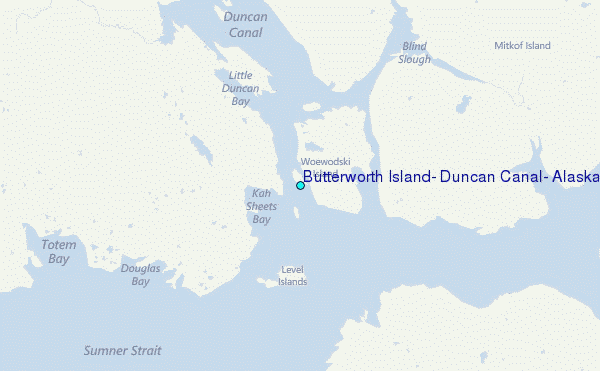
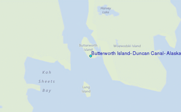
Choose Butterworth Island, Duncan Canal, Alaska Location Map Zoom:
| Contours: | Roads & Rivers: | Select a
tide station / surf break / city |
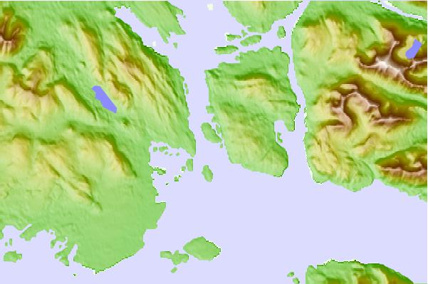
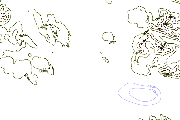
Use this relief map to navigate to tide stations, surf breaks and cities that are in the area of Butterworth Island, Duncan Canal, Alaska.
Other Nearby Locations' tide tables and tide charts to Butterworth Island, Duncan Canal, Alaska:
click location name for more details
 Surf breaks close to Butterworth Island, Duncan Canal, Alaska:
|
||
|---|---|---|
| Closest surf break | Lepus Beach (Haida-Gwaii) | 163 mi |
| Second closest surf break | Tow Hill Beach | 177 mi |
| Third closest surf break | Cannon Beach | 319 mi |
| Fourth closest surf break | Graveyards | 323 mi |
| Fifth closest surf break | Ocean Cape | 324 mi |

 Nearest
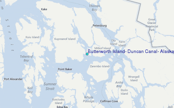