
| Distance / Altitude | Location | Report Date / Time | Live Weather | Wind | Gusts | Temp. | Visibility | Cloud |
|---|---|---|---|---|---|---|---|---|
| 4 km W / 44 m | St. Mary's County Regional Airport (Maryland) (Maryland) | 2024-05-06 16:30 local (2024/05/06 20:30 GMT) | Dry and cloudy | light winds from the ENE (6 km/h at 60) | 22°C | 16 | overcast | |
| 5 km ENE / 3 m | BUOY-SLIM2 (Marine) | 2024-05-06 17:00 local (2024/05/06 21:00 GMT) | light winds from the SE (9 km/h at 130) | 20°C | - | |||
| 10 km ESE / 218 m | Patuxent River Airport (Maryland) | 2024-05-06 15:52 local (2024/05/06 19:52 GMT) | Dry and partly cloudy | light winds from the ESE (9 km/h at 110) | 23°C | 16 | few broken | |
| 15 km NE / 3 m | BUOY-COVM2 (Marine) | 2024-05-06 17:00 local (2024/05/06 21:00 GMT) | light winds from the E (13 km/h at 90) | 20°C | - | |||
| 19 km S / 3 m | BUOY-PPTM2 (Marine) | 2024-05-06 17:00 local (2024/05/06 21:00 GMT) | light winds from the SE (11 km/h at 140) | — | - |
| Contours: | Roads & Rivers: | Select a
tide station / surf break / city |
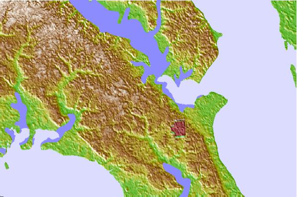
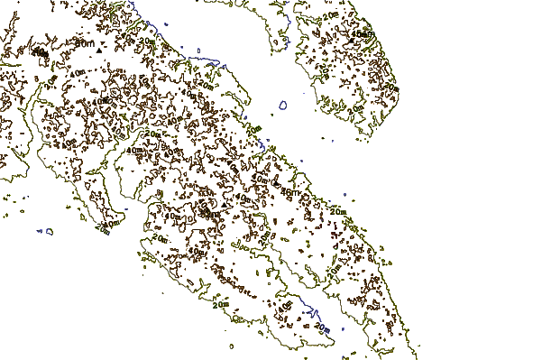
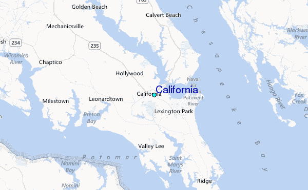
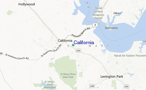
Use this relief map to navigate to tide stations, surf breaks and cities that are in the area of California.
Other Nearby Locations' tide tables and tide charts to California:
click location name for more details
 Surf breaks close to California:
|
||
|---|---|---|
| Closest surf break | Chincoteague | 70 mi |
| Second closest surf break | Out Front | 70 mi |
| Third closest surf break | Assateague | 75 mi |
| Fourth closest surf break | North Assateague (The Wedge) | 76 mi |
| Fifth closest surf break | Outside Shoals | 76 mi |

 Nearest
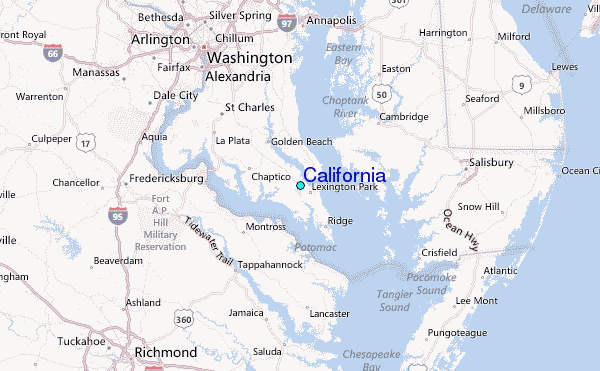