
| Distance / Altitude | Location | Report Date / Time | Live Weather | Wind | Gusts | Temp. | Visibility | Cloud |
|---|---|---|---|---|---|---|---|---|
| 72 km SW / 4 m | Cat Bi International Airport (Vietnam) | 2024-05-02 14:30 local (2024/05/02 07:30 GMT) | Dry and cloudy | moderate winds from the E (22 km/h at 90) | 24°C | 10.0 | scattered overcast | |
| 81 km SW / 218 m | PhuLien (Viet-nam) | 2024-05-02 13:00 local (2024/05/02 06:00 GMT) | Thunderstorm but no precipitation falling at station | light winds from the NNE (7 km/h at 20) | 23°C | 30 km | overcast | |
| 82 km NE / 17 m | Móng Cái (Vietnam) | 2024-05-02 13:00 local (2024/05/02 06:00 GMT) | - | light winds from the ENE (11 km/h at 70) | 24°C | 20 km | - mostly cloudy - | |
| 106 km SSE / 56 m | BachLongVI (Vietnam) | 2024-05-02 13:00 local (2024/05/02 06:00 GMT) | Thunderstorm but no precipitation falling at station | light winds from the ESE (14 km/h at 110) | 26°C | 10 km | overcast | |
| 108 km WNW / 217 m | Lang Son (Viet-nam) | 2024-05-02 13:00 local (2024/05/02 06:00 GMT) | - | calm (4 km/h at 360) | 22°C | 35 km | - overcast - |
| Contours: | Roads & Rivers: | Select a
tide station / surf break / city |
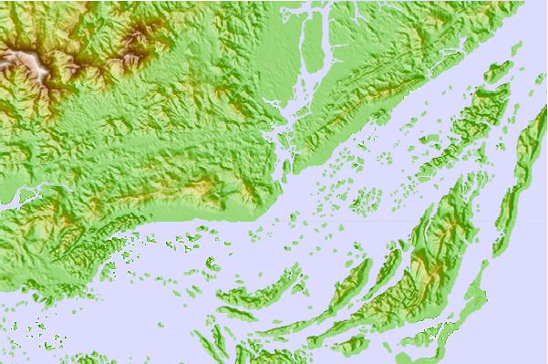
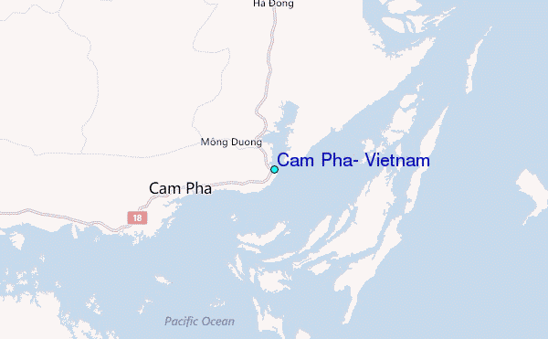
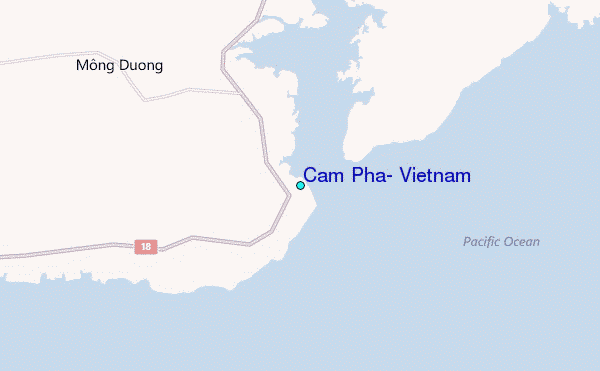
Use this relief map to navigate to tide stations, surf breaks and cities that are in the area of Cam Pha, Vietnam.
Other Nearby Locations' tide tables and tide charts to Cam Pha, Vietnam:
click location name for more details
 Surf breaks close to Cam Pha, Vietnam:
|
||
|---|---|---|
| Closest surf break | Dadonghai | 239 mi |
| Second closest surf break | Jinzonglu | 244 mi |
| Third closest surf break | Ocean Bay Golf Club | 248 mi |
| Fourth closest surf break | Riyue Bay (Riyuewan) | 249 mi |
| Fifth closest surf break | Binh An | 330 mi |

 Nearest
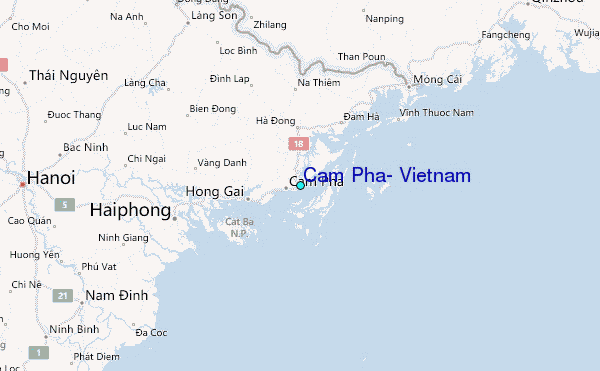