
| Distance / Altitude | Location | Report Date / Time | Live Weather | Wind | Gusts | Temp. | Visibility | Cloud |
|---|---|---|---|---|---|---|---|---|
| 2 km N / 11 m | Cambridge Bay Ua- NU (Canada) | 2024-04-28 21:00 local (2024/04/29 03:00 GMT) | no report | - (- km/h at -) | -13°C | - | - | |
| 2 km SW / 19 m | Cambridge Bay Gsn- NU (Canada) | 2024-04-28 21:00 local (2024/04/29 03:00 GMT) | no report | light winds from the WNW (17 km/h at 300) | -14°C | - | - no observation - | |
| 4 km S / 217 m | Cambridge Bay Airport (N.w. Territories) | 2024-04-28 20:00 local (2024/04/29 02:00 GMT) | Shower - in the vicinity | light winds from the WNW (19 km/h at 290) | -13°C | 24 | few overcast | |
| 283 km S / 5 m | Bathurst Inlet- NU (Canada) | 2024-04-28 21:00 local (2024/04/29 03:00 GMT) | no report | calm (4 km/h at 290) | -13°C | - | - no observation - | |
| 374 km E / 51 m | Gjoa Haven (Canada) | 2024-04-28 21:00 local (2024/04/29 03:00 GMT) | - | light winds from the W (19 km/h at 260) | -16°C | - | no observation |
| Contours: | Roads & Rivers: | Select a
tide station / surf break / city |
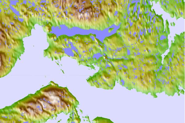
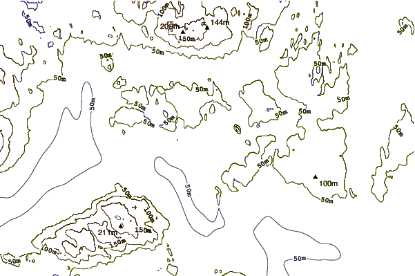
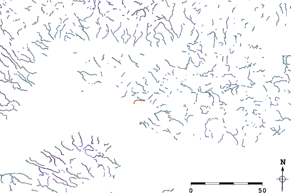
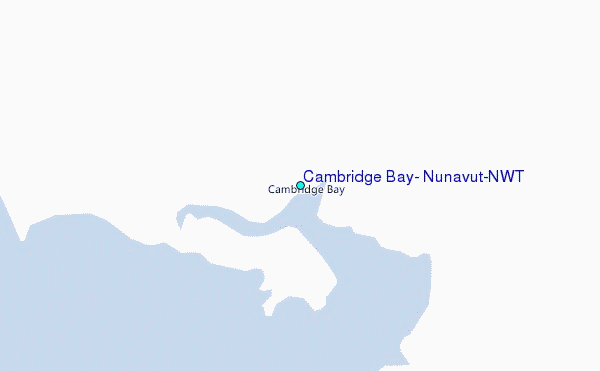
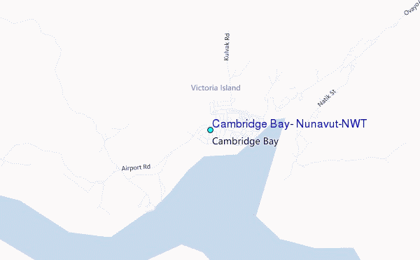
Use this relief map to navigate to tide stations, surf breaks and cities that are in the area of Cambridge Bay, Nunavut/NWT.
Other Nearby Locations' tide tables and tide charts to Cambridge Bay, Nunavut/NWT:
click location name for more details
 Surf breaks close to Cambridge Bay, Nunavut/NWT:
|
||
|---|---|---|
| Closest surf break | Graveyards | 1208 mi |
| Second closest surf break | Cannon Beach | 1209 mi |
| Third closest surf break | Ocean Cape | 1210 mi |
| Fourth closest surf break | Tow Hill Beach | 1339 mi |
| Fifth closest surf break | Lepus Beach (Haida-Gwaii) | 1359 mi |

 Nearest
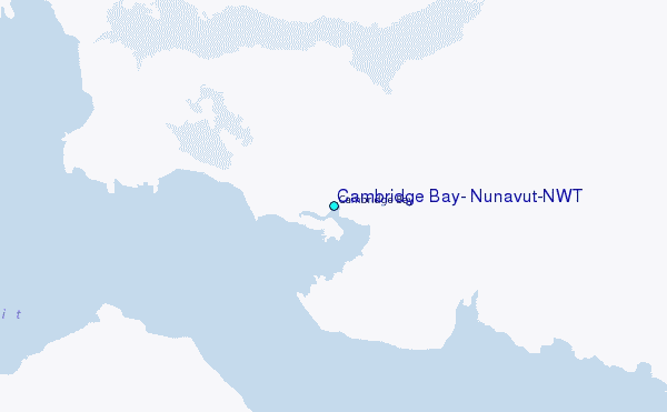