
| Distance / Altitude | Location | Report Date / Time | Live Weather | Wind | Gusts | Temp. | Visibility | Cloud |
|---|---|---|---|---|---|---|---|---|
| 8 km NE / 33 m | Meadow Bank wx (Canada) | 2024-04-28 10:47 local (2024/04/28 13:47 GMT) | dry | light winds from the SSE (10 km/h at 164) | 7°C | - | - - 0 | |
| 12 km NW / 65.5 m | Elmwood (Canada) | 2024-04-28 10:34 local (2024/04/28 13:34 GMT) | dry | calm (3 km/h at 170) | 8°C | - | - - 0 | |
| 19 km NE / 217 m | Charlottetown Airport (Prince Edward Islan) | 2024-04-28 10:00 local (2024/04/28 13:00 GMT) | - | light winds from the E.(Wind varies from 060 to 140 degs) (7 km/h at 100) | 6°C | 24 | few | |
| 20 km NNE / 61 m | Winsloe South (Canada) | 2024-04-28 11:04 local (2024/04/28 14:04 GMT) | dry | calm (3 km/h at 172) | 9°C | - | - - 0 | |
| 20 km NE / 49 m | Charlottetown A- Pei (Canada) | 2024-04-28 09:00 local (2024/04/28 12:00 GMT) | no report | - (- km/h at -) | 6°C | - | - - - |
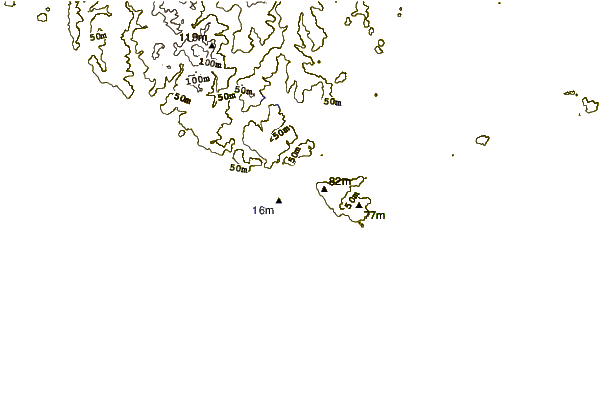
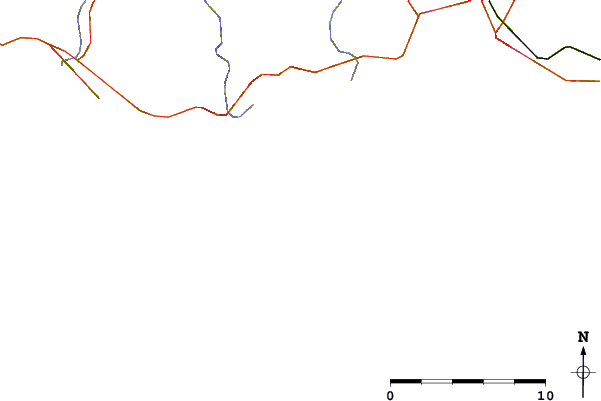
| Contours: | Roads & Rivers: | Select a
tide station / surf break / city |
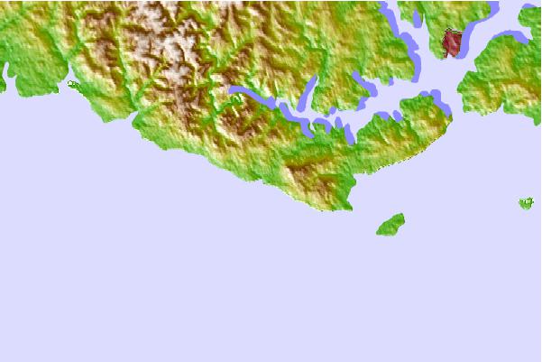
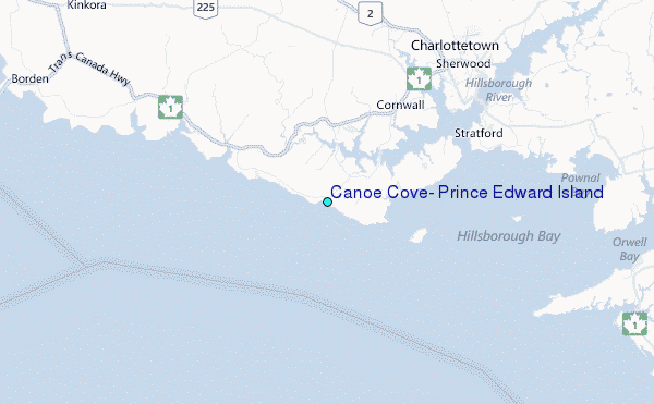
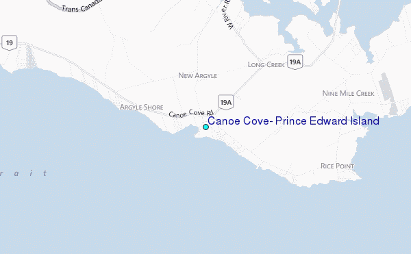
Use this relief map to navigate to tide stations, surf breaks and cities that are in the area of Canoe Cove, Prince Edward Island.
Other Nearby Locations' tide tables and tide charts to Canoe Cove, Prince Edward Island:
click location name for more details
 Surf breaks close to Canoe Cove, Prince Edward Island:
|
||
|---|---|---|
| Closest surf break | Martinique | 102 mi |
| Second closest surf break | Lawrencetown Left Point | 104 mi |
| Third closest surf break | Lawrencetown Reef | 104 mi |
| Fourth closest surf break | Lawrencetown Right Point | 104 mi |
| Fifth closest surf break | Minutes | 105 mi |

 Nearest
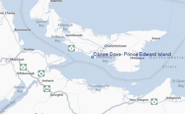