
| Distance / Altitude | Location | Report Date / Time | Live Weather | Wind | Gusts | Temp. | Visibility | Cloud |
|---|---|---|---|---|---|---|---|---|
| 68 km ENE / 15 m | ASCATB189E3S (Marine) | 2024-05-02 21:26 local (2024/05/02 08:26 GMT) | light winds from the E (19 km/h at 79) | — | - km | |||
| 76 km W / 15 m | ASCATB188E3S (Marine) | 2024-05-02 21:26 local (2024/05/02 08:26 GMT) | light winds from the ENE (19 km/h at 74) | — | - km | |||
| 90 km S / 15 m | ASCATB188E4S (Marine) | 2024-05-02 21:25 local (2024/05/02 08:25 GMT) | light winds from the ENE (18 km/h at 66) | — | - km | |||
| 106 km SE / 15 m | ASCATB189E4S (Marine) | 2024-05-02 21:25 local (2024/05/02 08:25 GMT) | light winds from the ENE (17 km/h at 74) | — | - km | |||
| 134 km SSW / 15 m | ASCATB187E4S (Marine) | 2024-05-02 21:25 local (2024/05/02 08:25 GMT) | light winds from the ENE (19 km/h at 77) | — | - km |

| Contours: | Roads & Rivers: | Select a
tide station / surf break / city |
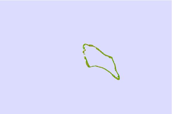
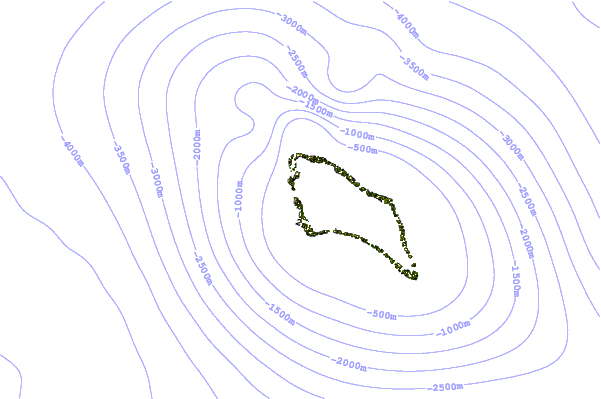
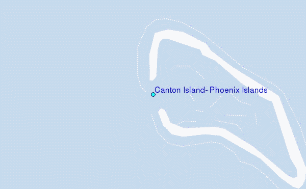
Use this relief map to navigate to tide stations, surf breaks and cities that are in the area of Canton Island, Phoenix Islands.
Other Nearby Locations' tide tables and tide charts to Canton Island, Phoenix Islands:
click location name for more details
 Surf breaks close to Canton Island, Phoenix Islands:
|
||
|---|---|---|
| Closest surf break | Utua Mamao (Atafu) | 401 mi |
| Second closest surf break | Malama Lefts | 741 mi |
| Third closest surf break | The Leap | 751 mi |
| Fourth closest surf break | The Wharf | 756 mi |
| Fifth closest surf break | Salailua | 757 mi |

 Nearest
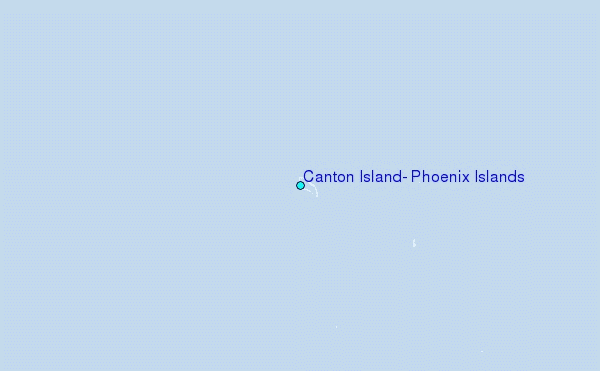