
| Distance / Altitude | Location | Report Date / Time | Live Weather | Wind | Gusts | Temp. | Visibility | Cloud |
|---|---|---|---|---|---|---|---|---|
| 106 km W / 198 m | Alert Airport (N.w. Territories) | 2024-04-27 07:00 local (2024/04/27 10:00 GMT) | Low drifting moderate snow | strong winds from the SSW (48 km/h at 210) | -4°C | 24 | few | |
| 107 km W / 1 m | Alert (Canada) | 2024-04-27 06:00 local (2024/04/27 09:00 GMT) | - | strong winds from the SW (48 km/h at 230) | -5°C | - | no observation | |
| 107 km WSW / 65 m | Alert (Canada) | 2024-04-27 07:00 local (2024/04/27 10:00 GMT) | no report | near gales from the SW (54 km/h at 230) | -5°C | - | - | |
| 326 km NE / 4 m | Kap Morris Jesup (Greenland) | 2024-04-27 06:00 local (2024/04/27 09:00 GMT) | no report | light winds from the W (11 km/h at 260) | -13°C | - | - | |
| 580 km WSW / 198 m | Eureka Airport (N.w. Territories) | 2024-04-27 07:00 local (2024/04/27 10:00 GMT) | Light snow | strong winds from the SSE (43 km/h at 160) | — | 13 | few few |
| Contours: | Roads & Rivers: | Select a
tide station / surf break / city |
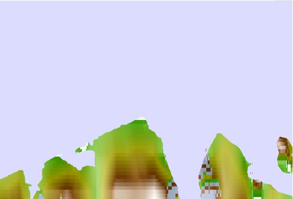
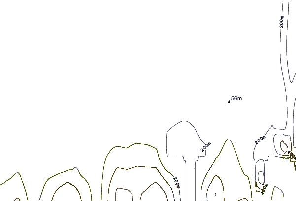

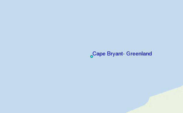
Use this relief map to navigate to tide stations, surf breaks and cities that are in the area of Cape Bryant, Greenland.
Other Nearby Locations' tide tables and tide charts to Cape Bryant, Greenland:
click location name for more details
 Surf breaks close to Cape Bryant, Greenland:
|
||
|---|---|---|
| Closest surf break | Eyvik | 1278 mi |
| Second closest surf break | Grotta | 1374 mi |
| Third closest surf break | Garur | 1375 mi |
| Fourth closest surf break | Hafnarfjordur | 1382 mi |
| Fifth closest surf break | Hafnir | 1386 mi |

 Nearest
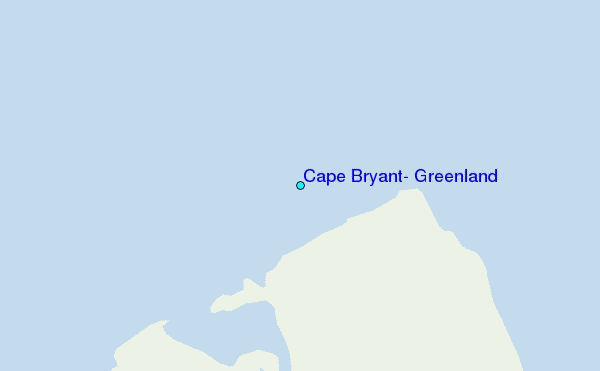