
| Distance / Altitude | Location | Report Date / Time | Live Weather | Wind | Gusts | Temp. | Visibility | Cloud |
|---|---|---|---|---|---|---|---|---|
| 24 km ENE / 7 m | Saltpond (Ghana) | 2024-04-29 03:00 local (2024/04/29 03:00 GMT) | Thunderstorm but no precipitation falling at station | calm (2 km/h at 230) | 29°C | 36 km | mostly cloudy | |
| 62 km SW / 5 m | Takoradi (Ghana) | 2024-04-29 03:00 local (2024/04/29 03:00 GMT) | - | calm (0 km/h at 0) | 28°C | 32 km | - scattered - | |
| 112 km NE / 74 m | Adeiso-Ndoda (Ghana) | 2024-04-29 05:00 local (2024/04/29 05:00 GMT) | - | light winds from the WNW (6 km/h at 291) | 26°C | - | - - 0 | |
| 112 km SW / 8 m | Axim (Ghana) | 2024-04-29 03:00 local (2024/04/29 03:00 GMT) | Thunderstorm but no precipitation falling at station | light winds from the NE (6 km/h at 50) | 28°C | 36 km | scattered | |
| 131 km ENE / 197 m | Accra/Kotoka International Airport (Ghana) | 2024-04-29 04:00 local (2024/04/29 04:00 GMT) | - | calm (4 km/h at 230) | 30°C | 32 km | - scattered - |

| Contours: | Roads & Rivers: | Select a
tide station / surf break / city |
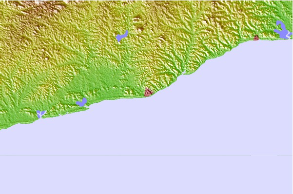
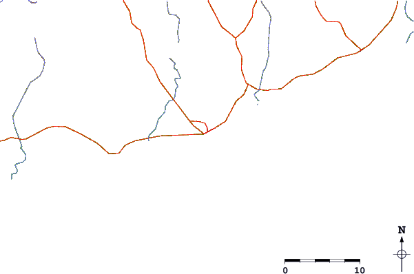
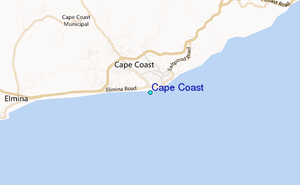
Use this relief map to navigate to tide stations, surf breaks and cities that are in the area of Cape Coast.
Other Nearby Locations' tide tables and tide charts to Cape Coast:
click location name for more details
 Surf breaks close to Cape Coast:
|
||
|---|---|---|
| Closest surf break | University | 3 mi |
| Second closest surf break | Elmina | 9 mi |
| Third closest surf break | Fort Sebastian | 28 mi |
| Fourth closest surf break | Mumford | 36 mi |
| Fifth closest surf break | Takoradi | 37 mi |

 Nearest