
| Distance / Altitude | Location | Report Date / Time | Live Weather | Wind | Gusts | Temp. | Visibility | Cloud |
|---|---|---|---|---|---|---|---|---|
| 105 km S / 62 m | PondInletA- NU (Canada) | 2024-04-29 11:00 local (2024/04/29 15:00 GMT) | - | moderate winds from the W (20 km/h at 270) | -13°C | 36 km | overcast | |
| 105 km S / 55 m | PondInletClimate- NU (Canada) | 2024-04-29 11:00 local (2024/04/29 15:00 GMT) | - | moderate winds from the WNW (22 km/h at 300) | -13°C | - | no observation | |
| 108 km S / 217 m | Pond Inlet Airport (N.w. Territories) | 2024-04-29 10:20 local (2024/04/29 14:20 GMT) | Dry and partly cloudy | light winds from the W (19 km/h at 270) | -13°C | 14 | broken broken | |
| 233 km SW / 10 m | Arctic Bay Cs- NU (Canada) | 2024-04-29 11:00 local (2024/04/29 15:00 GMT) | no report | fresh winds from the S (30 km/h at 170) | -15°C | - | - no observation - | |
| 233 km SW / 2 m | Arctic Bay Airport (N.w. Territories) | 2024-04-29 10:00 local (2024/04/29 14:00 GMT) | - | light winds from the E (7 km/h at 100) | -15°C | 0.0 |
| Contours: | Roads & Rivers: | Select a
tide station / surf break / city |
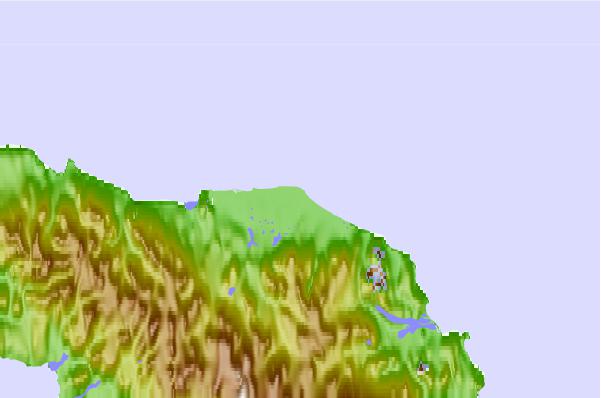
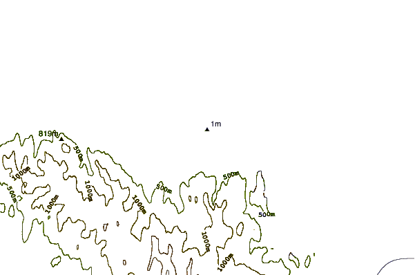
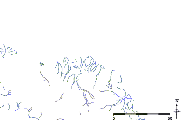
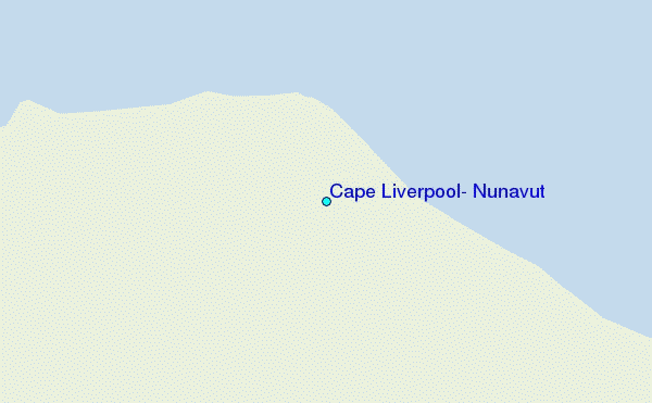
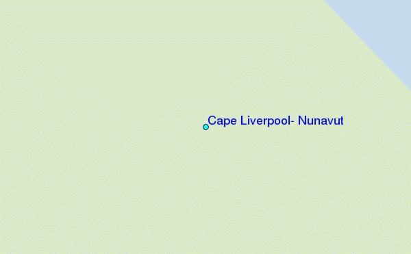
Use this relief map to navigate to tide stations, surf breaks and cities that are in the area of Cape Liverpool, Nunavut.
Other Nearby Locations' tide tables and tide charts to Cape Liverpool, Nunavut:
click location name for more details
 Surf breaks close to Cape Liverpool, Nunavut:
|
||
|---|---|---|
| Closest surf break | Eyvik | 1464 mi |
| Second closest surf break | Garur | 1464 mi |
| Third closest surf break | Hafnir | 1472 mi |
| Fourth closest surf break | Grotta | 1472 mi |
| Fifth closest surf break | Hafnarfjordur | 1479 mi |

 Nearest
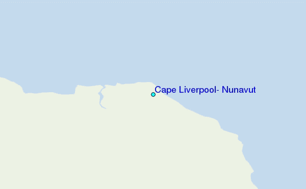