
| Distance / Altitude | Location | Report Date / Time | Live Weather | Wind | Gusts | Temp. | Visibility | Cloud |
|---|---|---|---|---|---|---|---|---|
| 13 km E / 3 m | Western Maine Shelf Buoy (Marine) | 2024-05-02 00:04 local (2024/05/02 04:04 GMT) | light winds from the SW (18 km/h at 230) | 8°C | - | |||
| 15 km SSW / 3 m | BUOY-SEIM1 (Marine) | 2024-05-02 01:00 local (2024/05/02 05:00 GMT) | - (- km/h at -) | 8°C | - | |||
| 16 km ENE / - m | SHIP8934 (ocean) | 2024-05-02 00:00 local (2024/05/02 04:00 GMT) | - | light winds from the SW (18 km/h at 230) | 8°C | - | no observation | |
| 17 km SSE / 3 m | BUOY-44073 (Marine) | 2024-05-02 00:35 local (2024/05/02 04:35 GMT) | light winds from the SW (14 km/h at 220) | 9°C | - | |||
| 16 km ENE / - m | SHIP5691 (ocean) | 2024-05-01 23:00 local (2024/05/02 03:00 GMT) | - | light winds from the SW (11 km/h at 220) | 8°C | - | no observation |
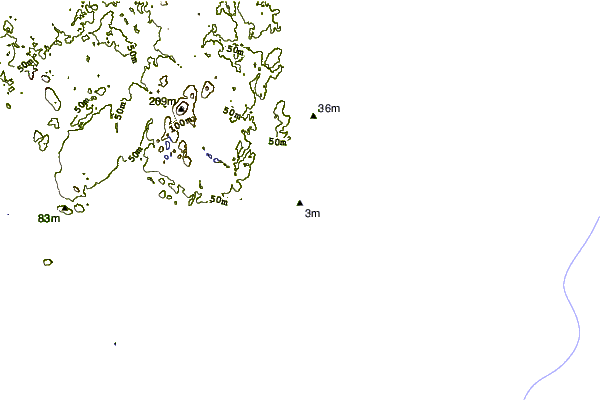
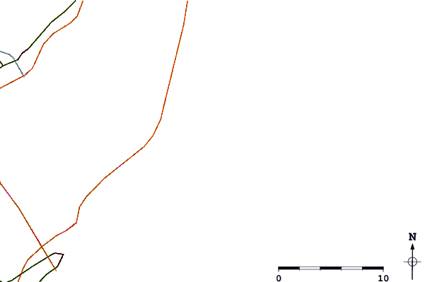
| Contours: | Roads & Rivers: | Select a
tide station / surf break / city |
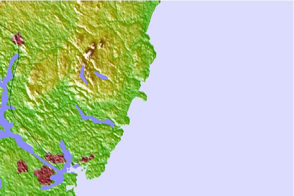
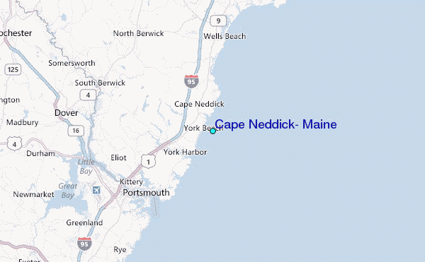
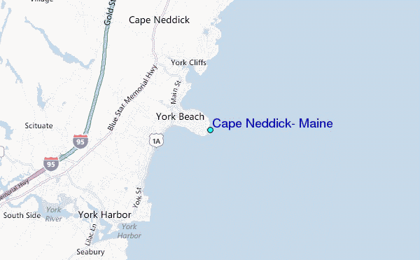
Use this relief map to navigate to tide stations, surf breaks and cities that are in the area of Cape Neddick, Maine.
Other Nearby Locations' tide tables and tide charts to Cape Neddick, Maine:
click location name for more details
 Surf breaks close to Cape Neddick, Maine:
|
||
|---|---|---|
| Closest surf break | Long Sands | 1 mi |
| Second closest surf break | Short Sands | 1 mi |
| Third closest surf break | Ogunquit Rivermouth | 6 mi |
| Fourth closest surf break | Maine Beach | 6 mi |
| Fifth closest surf break | Ogunquit Beach | 6 mi |

 Nearest
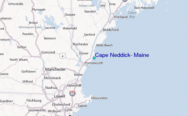