
| Distance / Altitude | Location | Report Date / Time | Live Weather | Wind | Gusts | Temp. | Visibility | Cloud |
|---|---|---|---|---|---|---|---|---|
| 4 km SE / 997 m | San Bernardino wx (Venezuela) | 2024-04-27 16:48 local (2024/04/27 20:48 GMT) | dry | light winds from the NW (10 km/h at 322) | 26°C | - | - - 0 | |
| 6 km WNW / 696 m | Caracas Airport/Aeropuerto Internacional Simon Bolivar (Venezuela) | 2024-04-27 16:00 local (2024/04/27 20:00 GMT) | Dry and partly cloudy | light winds from the ESE (11 km/h at 110) | 32°C | 10.0 | scattered scattered | |
| 9 km ESE / 860 m | Caracas (Venezuela) | 2024-04-27 17:18 local (2024/04/27 21:18 GMT) | dry | wind obs. (10 kph from 277 degs) was rejected (- km/h at -) | 26°C | - | - - 0 | |
| 116 km SW / 512 m | Zim Valencia International Airport (Venezuela) | 2024-04-27 16:00 local (2024/04/27 20:00 GMT) | Dry and partly cloudy | calm (0 km/h at 0) | 34°C | 10.0 | broken | |
| 223 km WNW / 5 m | Dunkerbeck-Procenter (Bonaire, Saint Eustatius and Saba ) | 2024-04-27 17:00 local (2024/04/27 21:00 GMT) | - | fresh winds from the SE (30 km/h at 131) | 29°C | - | - - 0 |
| Contours: | Roads & Rivers: | Select a
tide station / surf break / city |
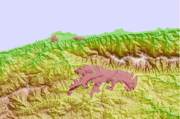
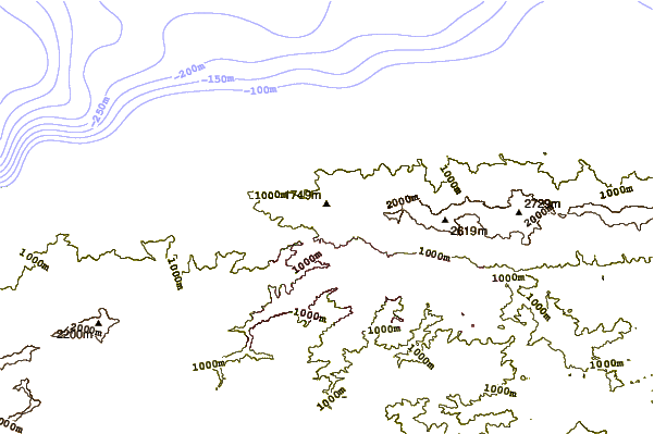
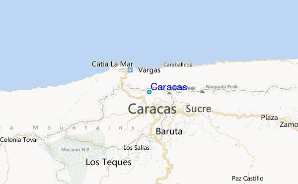
Use this relief map to navigate to tide stations, surf breaks and cities that are in the area of Caracas.
Other Nearby Locations' tide tables and tide charts to Caracas:
click location name for more details
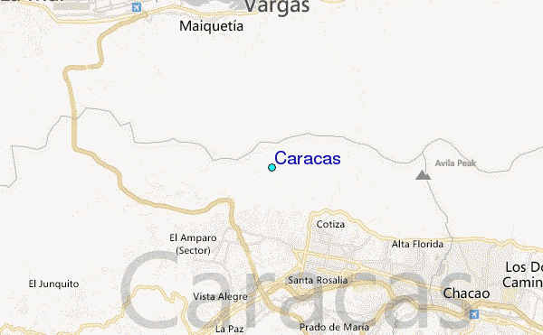
 Surf breaks close to Caracas:
|
||
|---|---|---|
| Closest surf break | Playita | 6 mi |
| Second closest surf break | Los Pocitos | 6 mi |
| Third closest surf break | Mamo | 7 mi |
| Fourth closest surf break | Marina Grande | 7 mi |
| Fifth closest surf break | Tanaguarena | 7 mi |

 Nearest
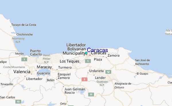