
| Distance / Altitude | Location | Report Date / Time | Live Weather | Wind | Gusts | Temp. | Visibility | Cloud |
|---|---|---|---|---|---|---|---|---|
| 143 km E / 378 m | Cayo Largo D Sur Airport (Cuba) | 2024-05-01 23:50 local (2024/05/02 03:50 GMT) | - | calm (4 km/h at 130) | — | 0.0 | ||
| 176 km NNE / 212 m | Havana/Jose Martí Airport (Cuba) | 2024-05-01 23:50 local (2024/05/02 03:50 GMT) | - | light winds from the E (9 km/h at 80) | 24°C | 9.0 | few | |
| 225 km S / 3 m | SHIP586 (Marine) | 2024-05-01 23:00 local (2024/05/02 03:00 GMT) | - (- km/h at -) | 27°C | - | |||
| 233 km NE / 213 m | Varadero Airport (Cuba) | 2024-05-01 23:50 local (2024/05/02 03:50 GMT) | - | light winds from the E (6 km/h at 80) | — | 8.0 | ||
| 271 km ENE / 337 m | Cienfuegos Airport (Cuba) | 2024-05-01 23:59 local (2024/05/02 03:59 GMT) | - | light winds from the NE (11 km/h at 50) | — | 0.0 |
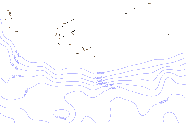
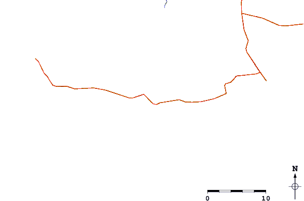
| Contours: | Roads & Rivers: | Select a
tide station / surf break / city |
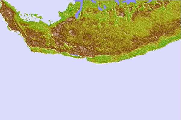
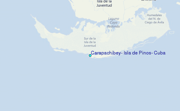
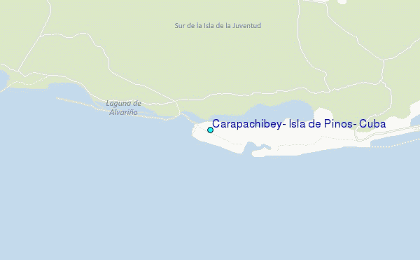
Use this relief map to navigate to tide stations, surf breaks and cities that are in the area of Carapachibey, Isla de Pinos, Cuba.
Other Nearby Locations' tide tables and tide charts to Carapachibey, Isla de Pinos, Cuba:
click location name for more details
 Surf breaks close to Carapachibey, Isla de Pinos, Cuba:
|
||
|---|---|---|
| Closest surf break | 7 Mile Beach | 177 mi |
| Second closest surf break | South Sound | 181 mi |
| Third closest surf break | East End | 190 mi |
| Fourth closest surf break | Naples Pier | 328 mi |
| Fifth closest surf break | Wiggins Pass | 341 mi |

 Nearest
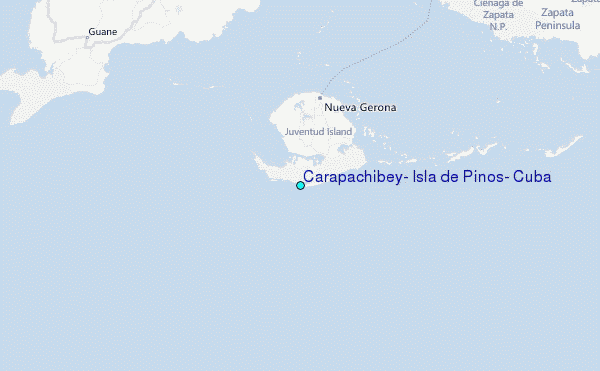