
| Distance / Altitude | Location | Report Date / Time | Live Weather | Wind | Gusts | Temp. | Visibility | Cloud |
|---|---|---|---|---|---|---|---|---|
| 37 km WNW / 196 m | New Carlisle Airport (Quebec) | 2024-05-01 04:00 local (2024/05/01 07:00 GMT) | - | light winds from the N (7 km/h at 350) | 3°C | 0.0 | ||
| 40 km NE / 5 m | Miscou Island (Aut)- NB (Canada) | 2024-05-01 04:00 local (2024/05/01 07:00 GMT) | no report | light winds from the NNW (14 km/h at 330) | 4°C | - | - - - | |
| 64 km SSW / 124 m | Red Pines- NB (Canada) | 2024-05-01 04:00 local (2024/05/01 07:00 GMT) | no report | calm (4 km/h at 190) | 2°C | - | - | |
| 65 km SW / 217 m | Bathurst Airport (New Brunswick) | 2024-05-01 04:00 local (2024/05/01 07:00 GMT) | Dry and partly cloudy | calm (4 km/h at 1) | 3°C | 14 | scattered broken broken | |
| 83 km NNE / 15 m | Cap D'espoir Airport (Canada) | 2024-05-01 03:00 local (2024/05/01 06:00 GMT) | no report | - (14 km/h at -) | 4°C | - | - - - |
| Contours: | Roads & Rivers: | Select a
tide station / surf break / city |
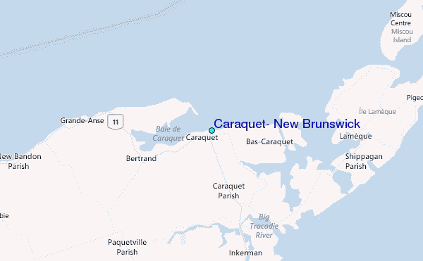
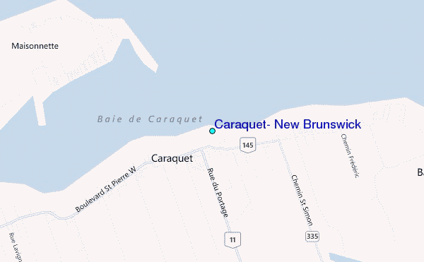
Use this relief map to navigate to tide stations, surf breaks and cities that are in the area of Caraquet, New Brunswick.
Other Nearby Locations' tide tables and tide charts to Caraquet, New Brunswick:
click location name for more details
 Surf breaks close to Caraquet, New Brunswick:
|
||
|---|---|---|
| Closest surf break | Ingonish Beach | 228 mi |
| Second closest surf break | Minutes | 231 mi |
| Third closest surf break | Backyards | 231 mi |
| Fourth closest surf break | Lawrencetown Reef | 231 mi |
| Fifth closest surf break | Lawrencetown Right Point | 231 mi |

 Nearest
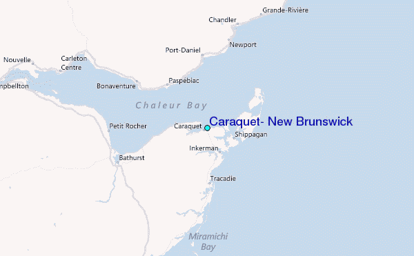