
| Distance / Altitude | Location | Report Date / Time | Live Weather | Wind | Gusts | Temp. | Visibility | Cloud |
|---|---|---|---|---|---|---|---|---|
| 186 km E / 164 m | San Andres Island Airport (Columbia) | 2024-04-28 23:00 local (2024/04/29 05:00 GMT) | Dry and partly cloudy | light winds from the ESE.(Wind varies from 080 to 140 degs) (9 km/h at 110) | 28°C | 10.0 | scattered | |
| 186 km E / 6 m | SanAndres(Isla)Sesquicentenario (Colombia) | 2024-04-29 00:00 local (2024/04/29 06:00 GMT) | Clouds dissolving | light winds from the E (14 km/h at 90) | 28°C | 40 km | few | |
| 251 km S / 89 m | La Vega wx (Costa Rica) | 2024-04-28 23:26 local (2024/04/29 05:26 GMT) | - | - (- km/h at ) | 18°C | - | - - 0 | |
| 269 km SSW / 678 m | Tierras Morenas (Costa Rica) | 2024-04-29 00:02 local (2024/04/29 06:02 GMT) | dry | light winds from the SSW (18 km/h at 202) | 22°C | - | - - 0 | |
| 276 km S / 1200 m | Barva (Costa Rica) | 2024-04-28 23:08 local (2024/04/29 05:08 GMT) | dry | calm (2 km/h at 55) | 19°C | - | - - 0 |
| Contours: | Roads & Rivers: | Select a
tide station / surf break / city |
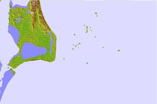

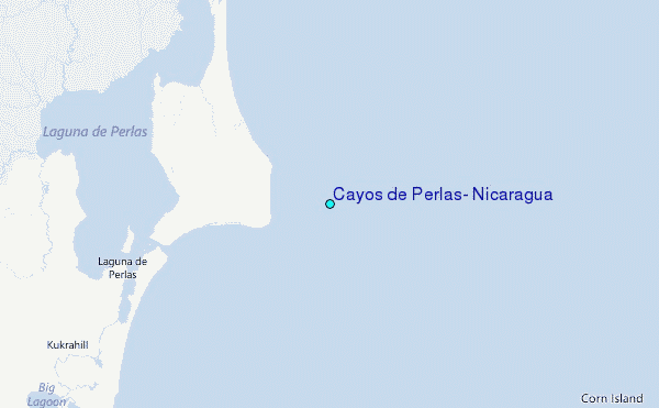
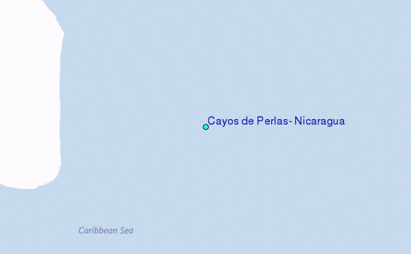
Use this relief map to navigate to tide stations, surf breaks and cities that are in the area of Cayos de Perlas, Nicaragua.
Other Nearby Locations' tide tables and tide charts to Cayos de Perlas, Nicaragua:
click location name for more details
 Surf breaks close to Cayos de Perlas, Nicaragua:
|
||
|---|---|---|
| Closest surf break | Tortuguero | 163 mi |
| Second closest surf break | Playa Bonita | 168 mi |
| Third closest surf break | Portete | 168 mi |
| Fourth closest surf break | Roca Alta | 168 mi |
| Fifth closest surf break | Isla Uvita | 170 mi |

 Nearest
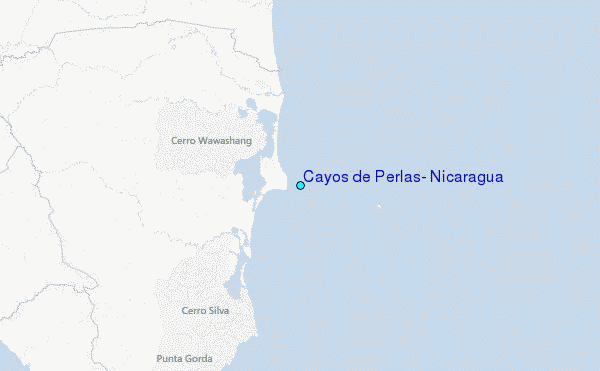