
| Distance / Altitude | Location | Report Date / Time | Live Weather | Wind | Gusts | Temp. | Visibility | Cloud |
|---|---|---|---|---|---|---|---|---|
| 6 km WNW / 12 m | Vega Baja (Puerto Rico) | 2024-05-01 17:11 local (2024/05/01 21:11 GMT) | dry | calm (3 km/h at 50) | 26°C | - | - - 0 | |
| 17 km ESE / 40 m | Las Arenas wx (Puerto Rico) | 2024-05-01 16:06 local (2024/05/01 20:06 GMT) | light rain | calm (0 km/h at 122) | 26°C | - | - - 0 | |
| 22 km ESE / 40 m | Sunny Hills wx (Puerto Rico) | 2024-05-01 17:09 local (2024/05/01 21:09 GMT) | light rain | calm (3 km/h at 109) | 27°C | - | - - 0 | |
| 24 km E / 3 m | BUOY-SJNP4 (Marine) | 2024-05-01 17:18 local (2024/05/01 21:18 GMT) | - (- km/h at -) | 28°C | - | |||
| 26 km E / 3 m | Fern Luis Ribas Airport (Puerto rico) | 2024-05-01 15:45 local (2024/05/01 19:45 GMT) | Haze - | fresh winds from the E (31 km/h at 100) | 28°C | 13 | scattered scattered broken |
| Contours: | Roads & Rivers: | Select a
tide station / surf break / city |
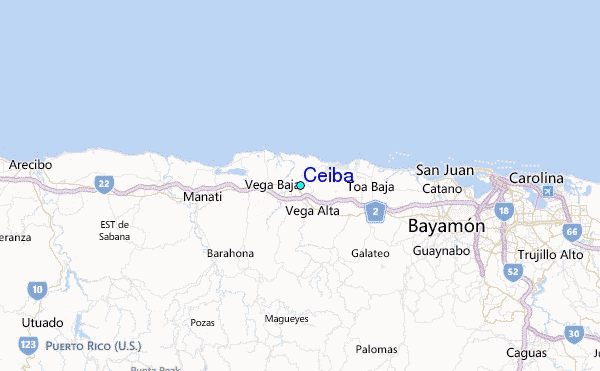
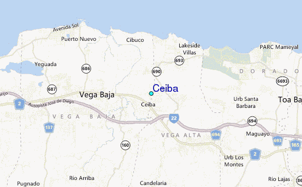
Use this relief map to navigate to tide stations, surf breaks and cities that are in the area of Ceiba.
Other Nearby Locations' tide tables and tide charts to Ceiba:
click location name for more details
 Surf breaks close to Ceiba:
|
||
|---|---|---|
| Closest surf break | Playa Kikitas | 6 mi |
| Second closest surf break | El Unico | 7 mi |
| Third closest surf break | Los Tubos | 8 mi |
| Fourth closest surf break | Cochino (Playa de Levittown) | 11 mi |
| Fifth closest surf break | El Canal (Rio de Bayamon) | 12 mi |

 Nearest
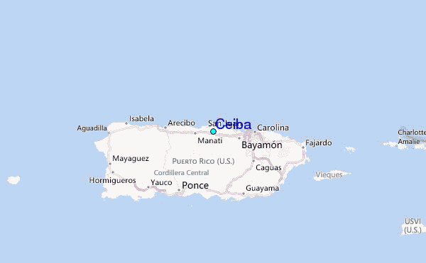