
| Distance / Altitude | Location | Report Date / Time | Live Weather | Wind | Gusts | Temp. | Visibility | Cloud |
|---|---|---|---|---|---|---|---|---|
| 62 km E / 692 m | Juan Santamaria Airport (Costa Rica) | 2024-04-27 15:00 local (2024/04/27 21:00 GMT) | Dry and partly cloudy | light winds from the SSW (19 km/h at 210) | 27°C | 10.0 | scattered broken | |
| 66 km E / 908 m | JuanSantamariaInt. Airport (Costa Rica) | 2024-04-27 15:00 local (2024/04/27 21:00 GMT) | - | light winds from the SSW (19 km/h at 210) | 27°C | 40 km | overcast | |
| 68 km NW / 678 m | Tierras Morenas (Costa Rica) | 2024-04-27 15:13 local (2024/04/27 21:13 GMT) | dry | light winds from the SE (16 km/h at 139) | 27°C | - | - - 0 | |
| 70 km E / 994 m | Tobias Bolano Airport (Costa Rica) | 2024-04-27 15:00 local (2024/04/27 21:00 GMT) | Dry and partly cloudy | moderate winds from the E (24 km/h at 90) | 26°C | 10.0 | scattered broken | |
| 71 km E / 997 m | Tobías Bolaños International Airport (Costa Rica) | 2024-04-27 15:00 local (2024/04/27 21:00 GMT) | - | moderate winds from the E (24 km/h at 90) | 26°C | 30 km | mostly cloudy |
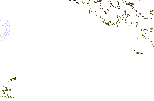
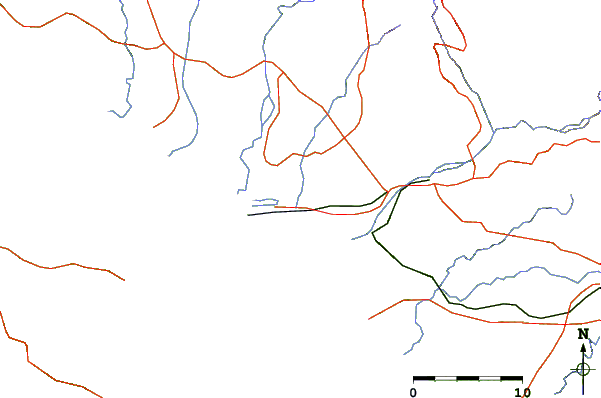
| Contours: | Roads & Rivers: | Select a
tide station / surf break / city |
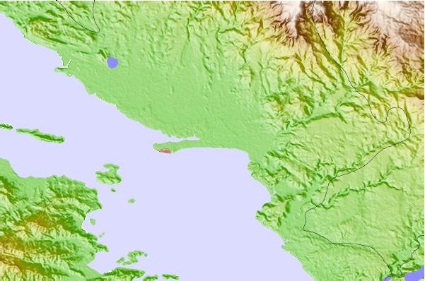
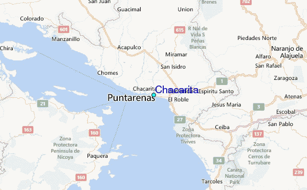
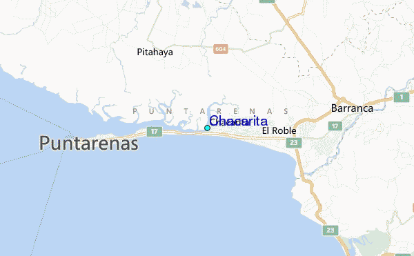
Use this relief map to navigate to tide stations, surf breaks and cities that are in the area of Chacarita.
Other Nearby Locations' tide tables and tide charts to Chacarita:
click location name for more details
 Surf breaks close to Chacarita:
|
||
|---|---|---|
| Closest surf break | Chacarita | 1 mi |
| Second closest surf break | Boca Barranca | 3 mi |
| Third closest surf break | La-China | 3 mi |
| Fourth closest surf break | Dona Ana | 4 mi |
| Fifth closest surf break | Puerto Caldera - El Hoyo | 6 mi |

 Nearest
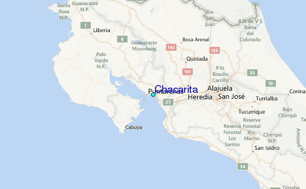