
| Distance / Altitude | Location | Report Date / Time | Live Weather | Wind | Gusts | Temp. | Visibility | Cloud |
|---|---|---|---|---|---|---|---|---|
| 69 km NE / 212 m | Chignik Bay Airport (Alaska) | 2024-04-29 04:57 local (2024/04/29 12:57 GMT) | Dry and cloudy | light winds from the SSE (7 km/h at 150) | 4°C | 16 | overcast | |
| 105 km SW / 216 m | Sand Point Airport (Alaska) | 2024-04-29 04:56 local (2024/04/29 12:56 GMT) | Light rain | calm (0 km/h at 0) | 3°C | 16 | overcast | |
| 105 km SW / 3 m | BUOY-SNDA2 (Marine) | 2024-04-29 06:00 local (2024/04/29 14:00 GMT) | calm (5 km/h at 180) | 3°C | - | |||
| 126 km NNE / 209 m | Port Heiden Airport (Alaska) | 2024-04-29 04:56 local (2024/04/29 12:56 GMT) | Mist - | light winds from the SW (17 km/h at 220) | 1°C | 8 | overcast | |
| 130 km WSW / 4 m | Nelson Lagoon Airport (Alaska) | 2024-04-29 04:56 local (2024/04/29 12:56 GMT) | Dry and cloudy | light winds from the N (6 km/h at 350) | 1°C | 16 | overcast |
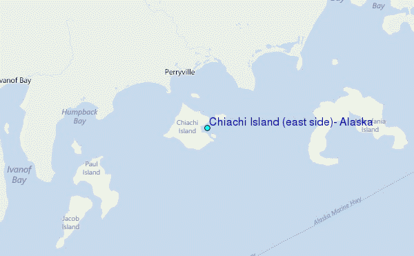
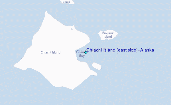
Choose Chiachi Island (east side), Alaska Location Map Zoom:
| Contours: | Roads & Rivers: | Select a
tide station / surf break / city |
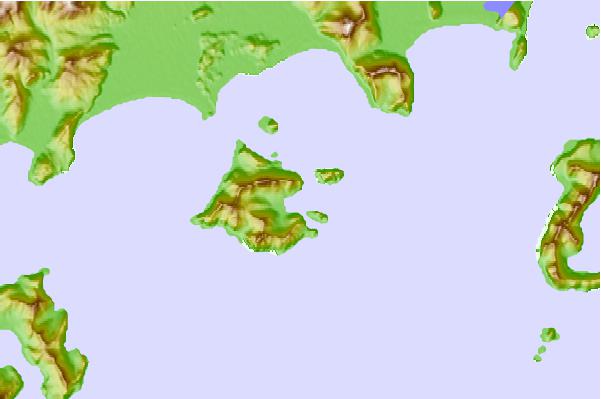
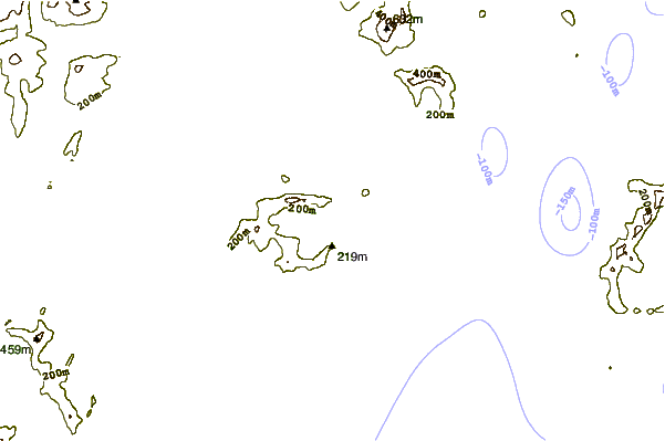
Use this relief map to navigate to tide stations, surf breaks and cities that are in the area of Chiachi Island (east side), Alaska.
Other Nearby Locations' tide tables and tide charts to Chiachi Island (east side), Alaska:
click location name for more details
 Surf breaks close to Chiachi Island (east side), Alaska:
|
||
|---|---|---|
| Closest surf break | Fossil Beach Kodiak | 278 mi |
| Second closest surf break | Monashka Bay | 287 mi |
| Third closest surf break | Termination Point | 288 mi |
| Fourth closest surf break | Mill Bay | 289 mi |
| Fifth closest surf break | Bird Point (Tidal Bore) | 438 mi |

 Nearest
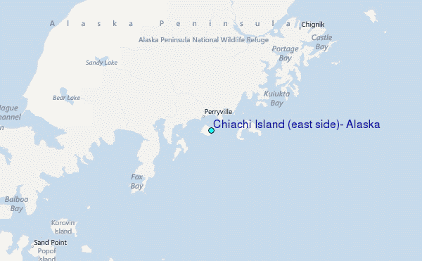