
| Distance / Altitude | Location | Report Date / Time | Live Weather | Wind | Gusts | Temp. | Visibility | Cloud |
|---|---|---|---|---|---|---|---|---|
| 31 km WSW / 50 m | Jatiwangi (Indonesia) | 2024-05-02 16:00 local (2024/05/02 09:00 GMT) | - | calm (0 km/h at 0) | 33°C | 30 km | - mostly cloudy - | |
| 67 km E / 210 m | Tegal (Indonesia) | 2024-05-02 16:00 local (2024/05/02 09:00 GMT) | Rain | calm (4 km/h at 190) | 33°C | 29 km | mostly cloudy | |
| 98 km WSW / 913 m | Cileuweung Dua wx (Indonesia) | 2024-05-02 16:35 local (2024/05/02 09:35 GMT) | - | calm (5 km/h at 54) | 28°C | - | - - 0 | |
| 103 km WSW / 841 m | Cibeunying wx (Indonesia) | 2024-05-02 16:13 local (2024/05/02 09:13 GMT) | - | calm (5 km/h at 54) | 28°C | - | - - 0 | |
| 108 km WSW / 740 m | BandungHusein (Indonesia) | 2024-05-02 16:00 local (2024/05/02 09:00 GMT) | Haze | light winds from the WNW (11 km/h at 300) | 28°C | 5.0 km | mostly cloudy |
| Contours: | Roads & Rivers: | Select a
tide station / surf break / city |
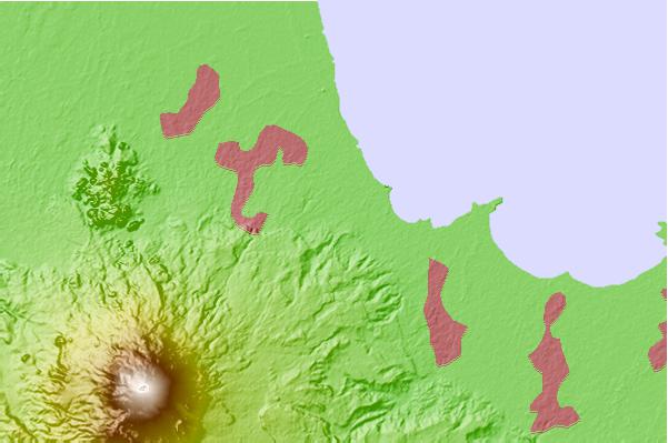
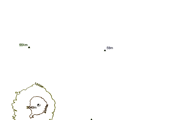
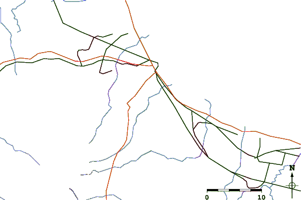
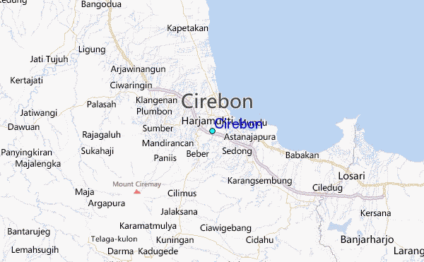
Use this relief map to navigate to tide stations, surf breaks and cities that are in the area of Cirebon.
Other Nearby Locations' tide tables and tide charts to Cirebon:
click location name for more details
 Surf breaks close to Cirebon:
|
||
|---|---|---|
| Closest surf break | Batu Hiu | 64 mi |
| Second closest surf break | Karang Nini | 64 mi |
| Third closest surf break | Batu Mandi | 67 mi |
| Fourth closest surf break | Batu Karas | 68 mi |
| Fifth closest surf break | Keusik Luhur | 71 mi |

 Nearest
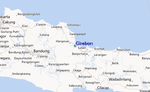