
| Distance / Altitude | Location | Report Date / Time | Live Weather | Wind | Gusts | Temp. | Visibility | Cloud |
|---|---|---|---|---|---|---|---|---|
| 21 km ENE / 44 m | St. Mary's County Regional Airport (Maryland) (Maryland) | 2024-04-27 07:40 local (2024/04/27 11:40 GMT) | Dry and cloudy | light winds from the ESE (6 km/h at 110) | 11°C | 16 | scattered overcast | |
| 22 km ESE / 3 m | BUOY-PPTM2 (Marine) | 2024-04-27 08:00 local (2024/04/27 12:00 GMT) | moderate winds from the SSE (26 km/h at 150) | — | - | |||
| 28 km W / 3 m | BUOY-NCDV2 (Marine) | 2024-04-27 08:00 local (2024/04/27 12:00 GMT) | moderate winds from the ESE (22 km/h at 120) | 13°C | - | |||
| 29 km ENE / 3 m | BUOY-SLIM2 (Marine) | 2024-04-27 08:00 local (2024/04/27 12:00 GMT) | light winds from the ESE (18 km/h at 120) | 12°C | - | |||
| 31 km E / 218 m | Patuxent River Airport (Maryland) | 2024-04-27 06:52 local (2024/04/27 10:52 GMT) | Dry and cloudy | light winds from the SE (15 km/h at 130) | 13°C | 16 | few overcast |
| Contours: | Roads & Rivers: | Select a
tide station / surf break / city |
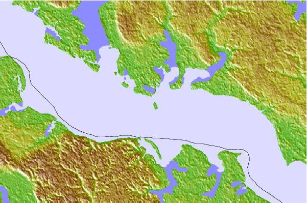
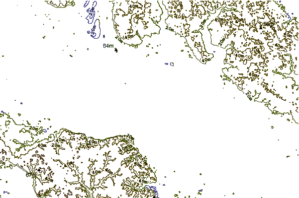
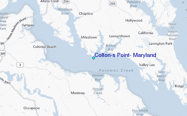
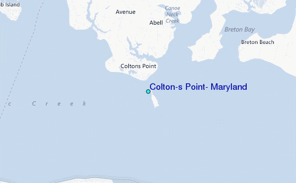
Use this relief map to navigate to tide stations, surf breaks and cities that are in the area of Colton's Point, Maryland.
Other Nearby Locations' tide tables and tide charts to Colton's Point, Maryland:
click location name for more details
 Surf breaks close to Colton's Point, Maryland:
|
||
|---|---|---|
| Closest surf break | Chincoteague | 80 mi |
| Second closest surf break | Out Front | 80 mi |
| Third closest surf break | Grandview | 83 mi |
| Fourth closest surf break | Assateague | 88 mi |
| Fifth closest surf break | Fishermans Island | 89 mi |

 Nearest
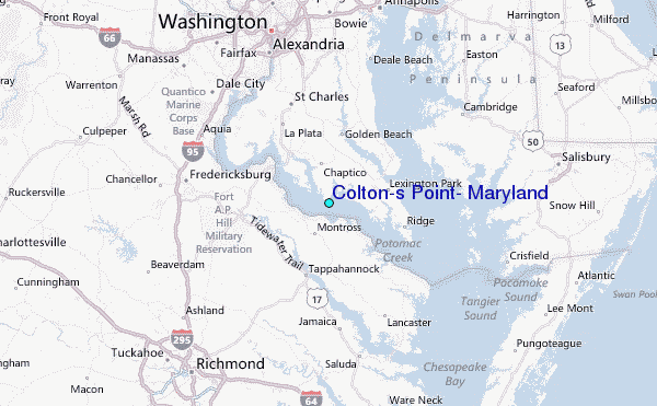