
| Distance / Altitude | Location | Report Date / Time | Live Weather | Wind | Gusts | Temp. | Visibility | Cloud |
|---|---|---|---|---|---|---|---|---|
| 84 km WSW / 62 m | PortAuxBasques (Canada) | 2024-04-28 13:30 local (2024/04/28 16:00 GMT) | no report | moderate winds from the W (22 km/h at 280) | 10°C | - | - no observation - | |
| 96 km NW / 217 m | Stephenville Airport (Newfoundland) | 2024-04-28 14:30 local (2024/04/28 17:00 GMT) | - | light winds from the W (17 km/h at 260) | — | 24 | ||
| 101 km NW / 22 m | Kippens (Canada) | 2024-04-28 15:57 local (2024/04/28 18:27 GMT) | dry | calm (0 km/h at 309) | 12°C | - | - - 0 | |
| 102 km NW / 42 m | Stephenville Ua- Nfld (Canada) | 2024-04-28 14:30 local (2024/04/28 17:00 GMT) | no report | - (- km/h at -) | 12°C | - | - | |
| 136 km N / 152 m | Corner Brook (Canada) | 2024-04-28 13:30 local (2024/04/28 16:00 GMT) | no report | light winds from the NE (7 km/h at 40) | 11°C | - | - no observation - |
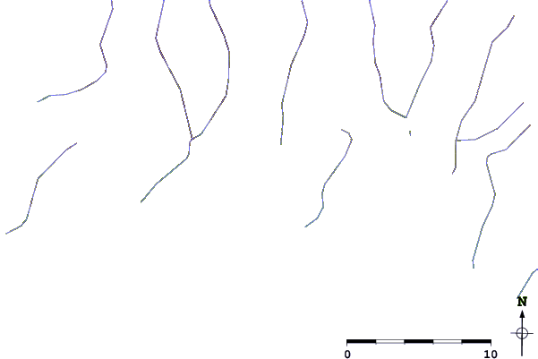
| Contours: | Roads & Rivers: | Select a
tide station / surf break / city |
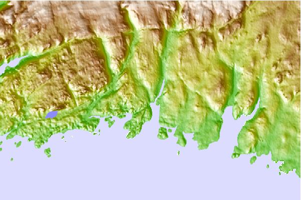
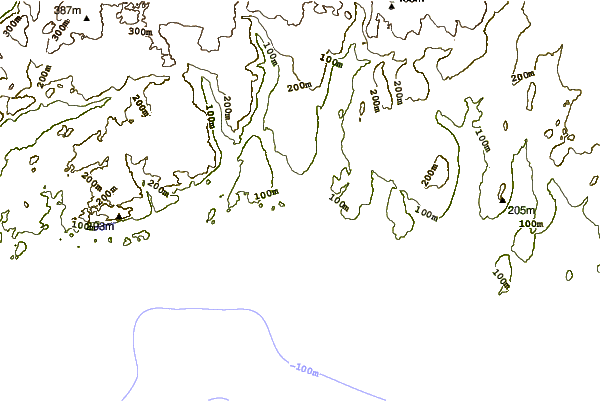
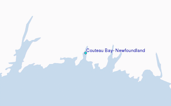
Use this relief map to navigate to tide stations, surf breaks and cities that are in the area of Couteau Bay, Newfoundland.
Other Nearby Locations' tide tables and tide charts to Couteau Bay, Newfoundland:
click location name for more details
 Surf breaks close to Couteau Bay, Newfoundland:
|
||
|---|---|---|
| Closest surf break | Ingonish Beach | 133 mi |
| Second closest surf break | Kennington Cove | 159 mi |
| Third closest surf break | Michaud Point | 194 mi |
| Fourth closest surf break | Martinique | 322 mi |
| Fifth closest surf break | Lawrencetown Left Point | 330 mi |

 Nearest
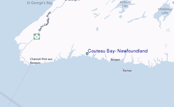