
| Distance / Altitude | Location | Report Date / Time | Live Weather | Wind | Gusts | Temp. | Visibility | Cloud |
|---|---|---|---|---|---|---|---|---|
| 6 km SSW / 3 m | BUOY-CASM1 (Marine) | 2024-04-28 20:00 local (2024/04/29 00:00 GMT) | calm (4 km/h at 80) | 8°C | - | |||
| 8 km W / 13 m | North Deering wx (United States) | 2024-04-28 20:43 local (2024/04/29 00:43 GMT) | dry | calm (0 km/h at 0) | 8°C | - | - - 0 | |
| 8 km SW / 87.2 m | Portland (Maine) | 2024-04-28 20:19 local (2024/04/29 00:19 GMT) | dry | calm (0 km/h at 359) | 9°C | - | - - 0 | |
| 8 km S / 28 m | South Portland (Maine) | 2024-04-28 20:19 local (2024/04/29 00:19 GMT) | dry | calm (0 km/h at 0) | 8°C | - | - - 0 | |
| 9 km NE / 12 m | Chebeague Island (Maine) | 2024-04-28 20:09 local (2024/04/29 00:09 GMT) | dry | calm (0 km/h at 86) | 7°C | - | - - 0 |
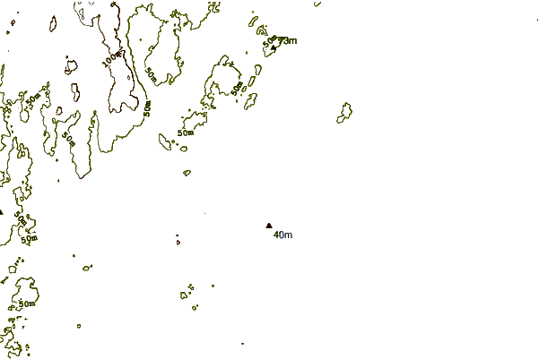
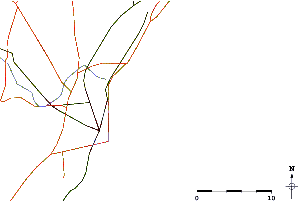
| Contours: | Roads & Rivers: | Select a
tide station / surf break / city |
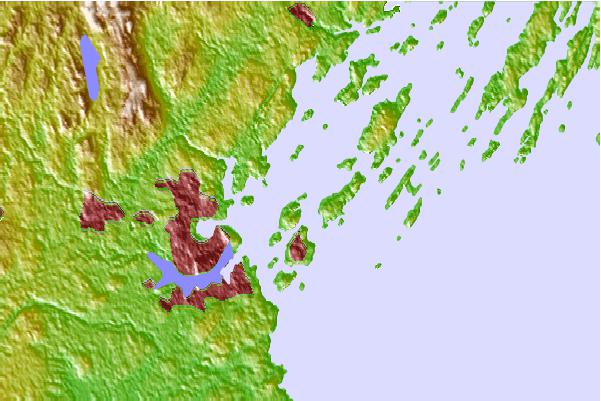
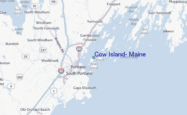
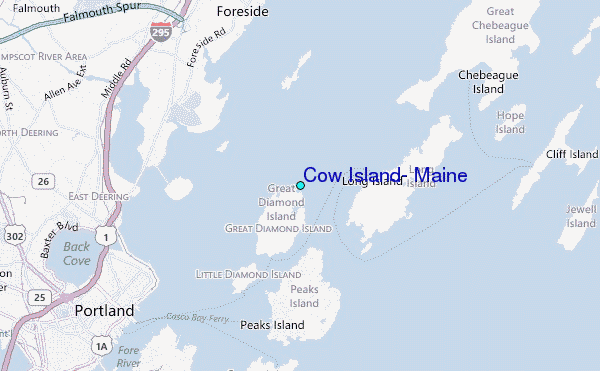
Use this relief map to navigate to tide stations, surf breaks and cities that are in the area of Cow Island, Maine.
Other Nearby Locations' tide tables and tide charts to Cow Island, Maine:
click location name for more details
 Surf breaks close to Cow Island, Maine:
|
||
|---|---|---|
| Closest surf break | Doc Browns | 9 mi |
| Second closest surf break | Two Lights | 9 mi |
| Third closest surf break | Higgins Beach | 10 mi |
| Fourth closest surf break | Trayhan's | 11 mi |
| Fifth closest surf break | Scarborough Beach | 12 mi |

 Nearest
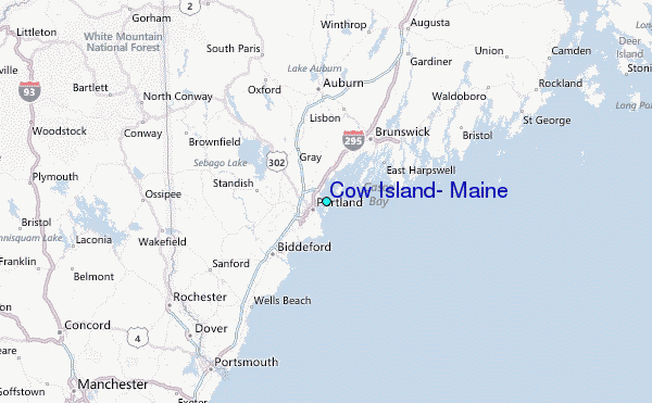