
| Distance / Altitude | Location | Report Date / Time | Live Weather | Wind | Gusts | Temp. | Visibility | Cloud |
|---|---|---|---|---|---|---|---|---|
| 1 km NNE / 3 m | BUOY-CECC1 (Marine) | 2024-04-27 13:48 local (2024/04/27 20:48 GMT) | light winds from the SSW (9 km/h at 200) | 11°C | - | |||
| 4 km WNW / 218 m | Crescent City Airport (California) | 2024-04-27 12:56 local (2024/04/27 19:56 GMT) | Dry and cloudy | light winds from the S (15 km/h at 190) | 12°C | 16 | broken broken overcast | |
| 19 km W / - m | SHIP4482 (ocean) | 2024-04-27 13:00 local (2024/04/27 20:00 GMT) | - | light winds from the SSW (14 km/h at 200) | 11°C | - | no observation | |
| 19 km W / - m | SHIP13270 (ocean) | 2024-04-27 12:00 local (2024/04/27 19:00 GMT) | - | light winds from the SSW (14 km/h at 200) | 11°C | - | no observation | |
| 19 km W / - m | SHIP13793 (ocean) | 2024-04-27 12:00 local (2024/04/27 19:00 GMT) | - | light winds from the SSW (14 km/h at 200) | 11°C | - | no observation |
| Contours: | Roads & Rivers: | Select a
tide station / surf break / city |
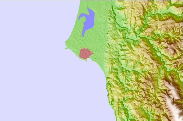
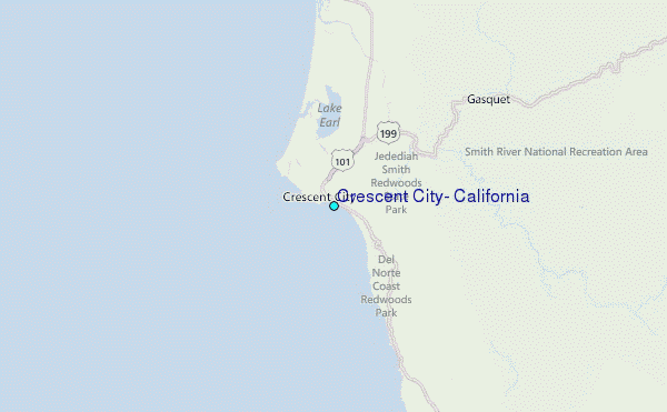
Use this relief map to navigate to tide stations, surf breaks and cities that are in the area of Crescent City, California.
Other Nearby Locations' tide tables and tide charts to Crescent City, California:
click location name for more details
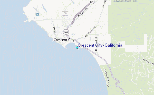
 Surf breaks close to Crescent City, California:
|
||
|---|---|---|
| Closest surf break | Whaler Island | 0 mi |
| Second closest surf break | South Beach | 1 mi |
| Third closest surf break | Enderts Beach | 2 mi |
| Fourth closest surf break | Garths Reef | 4 mi |
| Fifth closest surf break | Point St George | 4 mi |

 Nearest
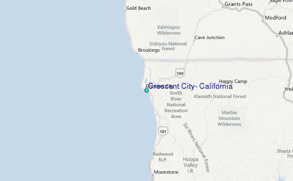