
| Distance / Altitude | Location | Report Date / Time | Live Weather | Wind | Gusts | Temp. | Visibility | Cloud |
|---|---|---|---|---|---|---|---|---|
| 11 km W / 219 m | Dakar/Yoff-Léopold Sédar Senghor International Airport (Senegal) | 2024-04-28 10:00 local (2024/04/28 10:00 GMT) | - | moderate winds from the NNW (22 km/h at 340) | — | 0.0 | ||
| 38 km E / 89 m | Blaise Diagne International Airport (Senegal) | 2024-04-28 10:30 local (2024/04/28 10:30 GMT) | - | moderate winds from the N (28 km/h at 10) | — | 0.0 | - clear - | |
| 81 km SSW / 15 m | SHIP1689 (Marine) | 2024-04-28 11:00 local (2024/04/28 11:00 GMT) | - (- km/h at -) | — | - km | |||
| 129 km E / 9 m | Diourbel Airport (Senegal) | 2024-04-28 10:00 local (2024/04/28 10:00 GMT) | Dry and partly cloudy | calm (0 km/h at 0) | 31°C | 8.0 | no significant cloud | |
| 129 km E / 9 m | Diourbel (Senegal) | 2024-04-28 10:00 local (2024/04/28 10:00 GMT) | Dry and partly cloudy | calm (0 km/h at 0) | 31°C | 8.0 | no significant cloud |
| Contours: | Roads & Rivers: | Select a
tide station / surf break / city |
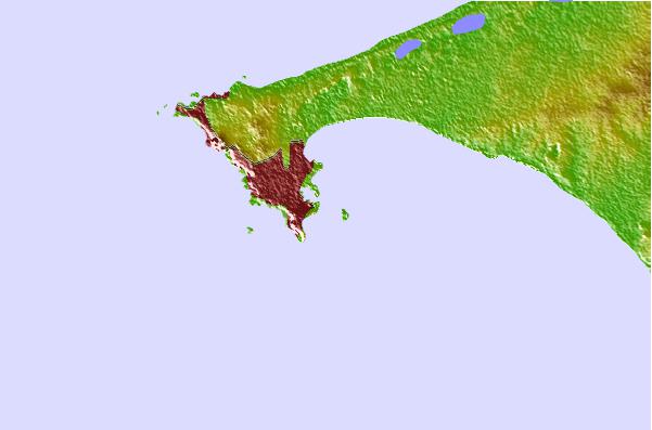
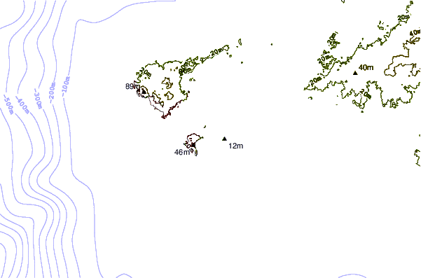
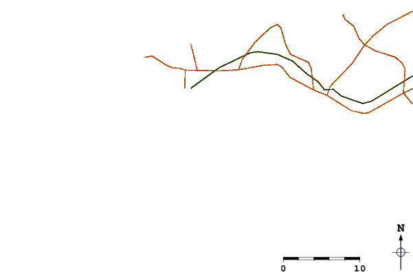
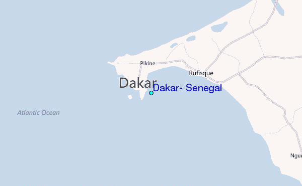
Use this relief map to navigate to tide stations, surf breaks and cities that are in the area of Dakar, Senegal.
Other Nearby Locations' tide tables and tide charts to Dakar, Senegal:
click location name for more details
 Surf breaks close to Dakar, Senegal:
|
||
|---|---|---|
| Closest surf break | Corniche Ouest | 4 mi |
| Second closest surf break | Ouakam | 6 mi |
| Third closest surf break | Yoff Beach | 7 mi |
| Fourth closest surf break | Le Virage | 8 mi |
| Fifth closest surf break | Malika Sur Mer | 8 mi |

 Nearest
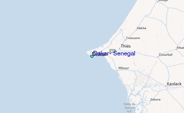