
| Distance / Altitude | Location | Report Date / Time | Live Weather | Wind | Gusts | Temp. | Visibility | Cloud |
|---|---|---|---|---|---|---|---|---|
| 91 km SW / 4 m | Coconut Island (Australia) | 2024-04-30 09:00 local (2024/04/29 23:00 GMT) | no report | - (- km/h at -) | 29°C | - | - - - | |
| 194 km SSW / 13 m | Horn Island Airport (Australia) | 2024-04-30 09:30 local (2024/04/29 23:30 GMT) | Dry and partly cloudy | fresh winds from the SE (30 km/h at 130) | 30°C | 10.0 | scattered | |
| 195 km SSW / 5 m | Horn Island Automatic Weather Station (Australia) | 2024-04-30 10:00 local (2024/04/30 00:00 GMT) | no report | moderate winds from the ESE (28 km/h at 120) | 30°C | - | - no observation - | |
| 356 km S / 18 m | Lockhart River (Australia) | 2024-04-30 10:00 local (2024/04/30 00:00 GMT) | clear skies | moderate winds from the SE (24 km/h at 130) | 28°C | - | - no observation - | |
| 379 km E / 359 m | Port Moresby International Airport (Papua New Guinea) | 2024-04-30 09:00 local (2024/04/29 23:00 GMT) | Haze - | light winds from the N (6 km/h at 1) | 30°C | 10.0 | few scattered |
| Contours: | Roads & Rivers: | Select a
tide station / surf break / city |
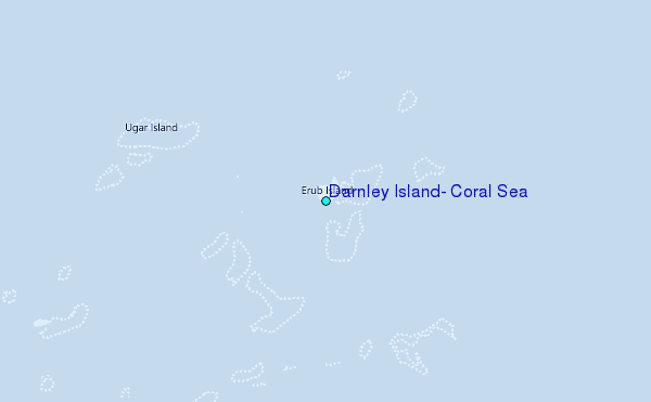
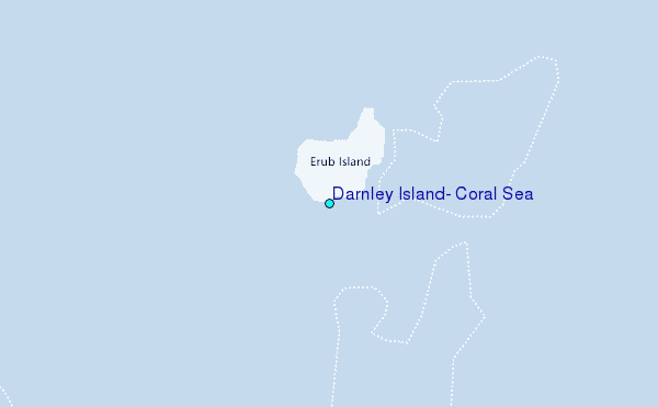
Use this relief map to navigate to tide stations, surf breaks and cities that are in the area of Darnley Island, Coral Sea.
Other Nearby Locations' tide tables and tide charts to Darnley Island, Coral Sea:
click location name for more details
 Surf breaks close to Darnley Island, Coral Sea:
|
||
|---|---|---|
| Closest surf break | Tupira Right | 374 mi |
| Second closest surf break | Forok Point | 413 mi |
| Third closest surf break | The Wharf (Mission Point) | 417 mi |
| Fourth closest surf break | Moem Point | 418 mi |
| Fifth closest surf break | Wewak Point | 418 mi |

 Nearest
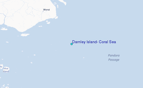