
| Distance / Altitude | Location | Report Date / Time | Live Weather | Wind | Gusts | Temp. | Visibility | Cloud |
|---|---|---|---|---|---|---|---|---|
| 21 km NE / 327 m | Stewart Airport (British Columbia) | 2024-04-28 11:00 local (2024/04/28 18:00 GMT) | Dry and cloudy | light winds from the S.(Wind varies from 160 to 230 degs) (11 km/h at 190) | 8°C | 16 | scattered overcast | |
| 98 km SSW / 3 m | BUOY-MRYA2 (Marine) | 2024-04-28 12:02 local (2024/04/28 19:02 GMT) | calm (4 km/h at 200) | 6°C | - | |||
| 103 km SW / 3 m | BUOY-SXXA2 (Marine) | 2024-04-28 12:03 local (2024/04/28 19:03 GMT) | light winds from the E (11 km/h at 100) | 5°C | - | |||
| 104 km SW / 3 m | BUOY-SLXA2 (Marine) | 2024-04-28 12:03 local (2024/04/28 19:03 GMT) | moderate winds from the ESE (24 km/h at 120) | 6°C | - | |||
| 104 km SW / 3 m | BUOY-KECA2 (Marine) | 2024-04-28 11:48 local (2024/04/28 18:48 GMT) | light winds from the SE (18 km/h at 140) | 5°C | - |
| Contours: | Roads & Rivers: | Select a
tide station / surf break / city |
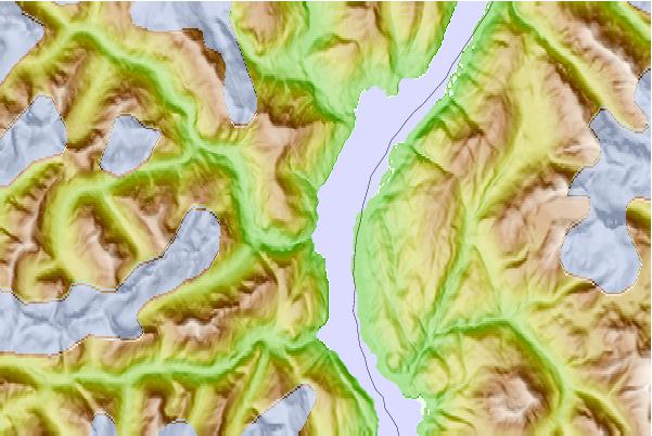
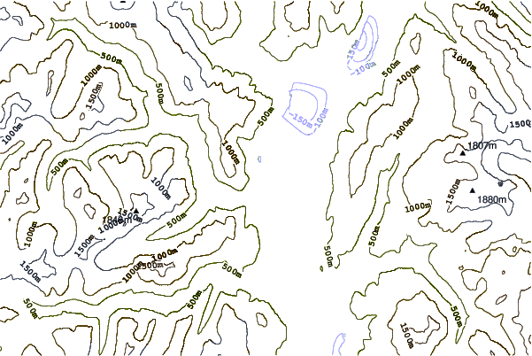
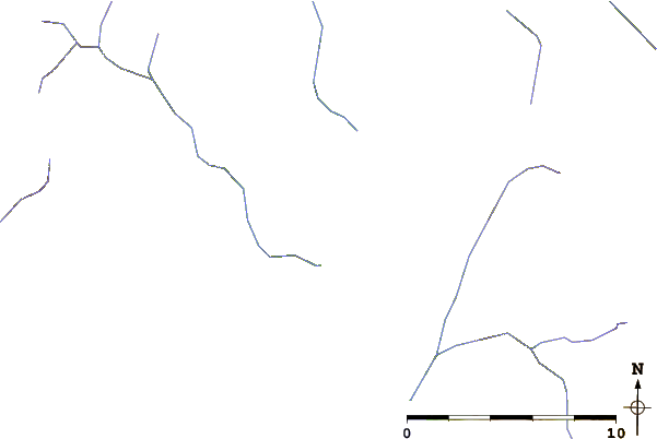
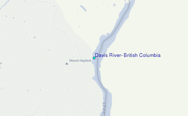
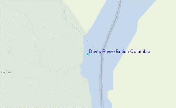
Use this relief map to navigate to tide stations, surf breaks and cities that are in the area of Davis River, British Columbia.
Other Nearby Locations' tide tables and tide charts to Davis River, British Columbia:
click location name for more details
 Surf breaks close to Davis River, British Columbia:
|
||
|---|---|---|
| Closest surf break | Tow Hill Beach | 134 mi |
| Second closest surf break | Lepus Beach (Haida-Gwaii) | 158 mi |
| Third closest surf break | Cannon Beach | 438 mi |
| Fourth closest surf break | Graveyards | 442 mi |
| Fifth closest surf break | Ocean Cape | 443 mi |

 Nearest
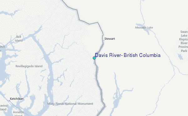