
| Distance / Altitude | Location | Report Date / Time | Live Weather | Wind | Gusts | Temp. | Visibility | Cloud |
|---|---|---|---|---|---|---|---|---|
| 187 km WNW / 707 m | Broughton Island Airport (N.w. Territories) | 2024-04-27 10:00 local (2024/04/27 14:00 GMT) | Ice crystals | light winds from the NNE (6 km/h at 30) | — | 24 | few few few | |
| 196 km WNW / 6 m | Qikiqtarjuaq Airport (Canada) | 2024-04-27 11:00 local (2024/04/27 15:00 GMT) | no report | light winds from the ENE (9 km/h at 60) | -14°C | - | - no observation - | |
| 214 km WSW / 23 m | Pangnirtung-NU (Canada) | 2024-04-27 11:00 local (2024/04/27 15:00 GMT) | no report | fresh winds from the E (29 km/h at 80) | 0°C | - | - no observation - | |
| 214 km WSW / 322 m | Pangnirtung Airport (N.w. Territories) | 2024-04-27 10:00 local (2024/04/27 14:00 GMT) | Dry and cloudy | strong winds from the NE (46 km/h at 50) | 2°C | 24 | scattered broken overcast | |
| 330 km ENE / 8 m | Mittarfik Sisimiut (Holsteinsborg Lufthavn) (Greenland) | 2024-04-27 11:00 local (2024/04/27 15:00 GMT) | no report | light winds from the SE (13 km/h at 140) | 0°C | 8 | - no observation - |
| Contours: | Roads & Rivers: | Select a
tide station / surf break / city |
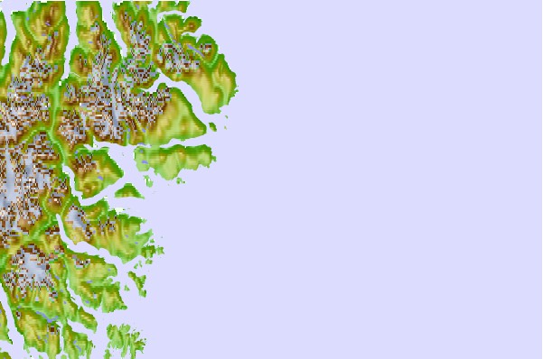
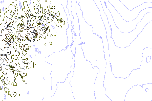
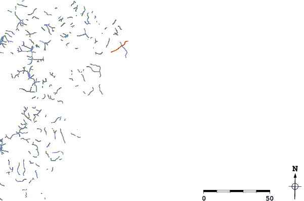
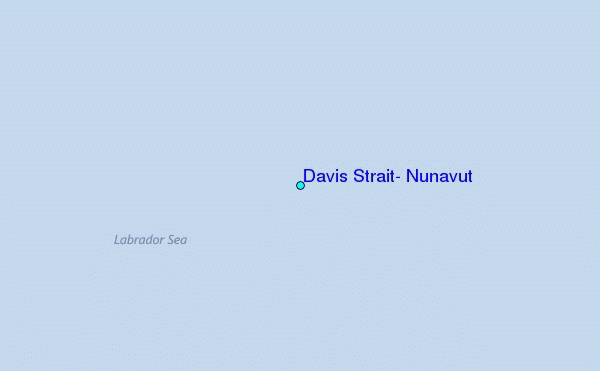
Use this relief map to navigate to tide stations, surf breaks and cities that are in the area of Davis Strait, Nunavut.
Other Nearby Locations' tide tables and tide charts to Davis Strait, Nunavut:
click location name for more details
 Surf breaks close to Davis Strait, Nunavut:
|
||
|---|---|---|
| Closest surf break | Garur | 1103 mi |
| Second closest surf break | Hafnir | 1108 mi |
| Third closest surf break | Sandvik | 1113 mi |
| Fourth closest surf break | Grindavik Antenas | 1117 mi |
| Fifth closest surf break | Grindavik Lighthouse ( Hopsnesta) | 1119 mi |

 Nearest
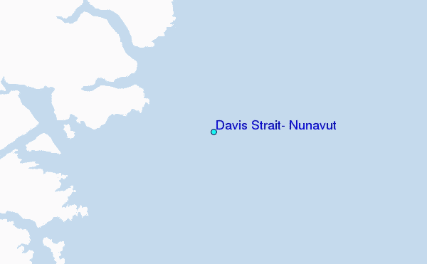