
| Distance / Altitude | Location | Report Date / Time | Live Weather | Wind | Gusts | Temp. | Visibility | Cloud |
|---|---|---|---|---|---|---|---|---|
| 48 km WSW / 251 m | Salliut Airport (Quebec) | 2024-04-29 09:08 local (2024/04/29 13:08 GMT) | - | near gales from the WSW (52 km/h at 240) | — | 0.0 | - - - | |
| 109 km SSE / 503 m | Parc National Des Pingualuit- Que (Canada) | 2024-04-29 08:00 local (2024/04/29 12:00 GMT) | no report | fresh winds from the W (32 km/h at 260) | -14°C | - | - | |
| 163 km ESE / 244 m | Kangiqsujuaq Airport (Quebec) | 2024-04-29 09:00 local (2024/04/29 13:00 GMT) | - | light winds from the WNW (19 km/h at 290) | -11°C | 24 | few | |
| 169 km W / 245 m | Ivujivik Airport (Quebec) | 2024-04-29 09:00 local (2024/04/29 13:00 GMT) | Light snow | moderate winds from the SW (28 km/h at 230) | — | 24 | few scattered | |
| 234 km SSW / 285 m | Akulivik Airport (Quebec) | 2024-04-29 09:00 local (2024/04/29 13:00 GMT) | Dry and cloudy | light winds from the SSE (15 km/h at 150) | -10°C | 16 | overcast |

| Contours: | Roads & Rivers: | Select a
tide station / surf break / city |
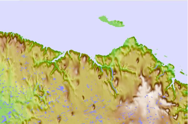
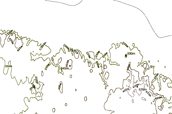
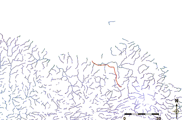
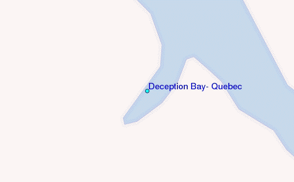
Use this relief map to navigate to tide stations, surf breaks and cities that are in the area of Deception Bay, Quebec.
Other Nearby Locations' tide tables and tide charts to Deception Bay, Quebec:
click location name for more details
 Surf breaks close to Deception Bay, Quebec:
|
||
|---|---|---|
| Closest surf break | Marathon | 1033 mi |
| Second closest surf break | Alona Bay | 1107 mi |
| Third closest surf break | Keweenaw Peninsula | 1143 mi |
| Fourth closest surf break | Au Sable Point | 1160 mi |
| Fifth closest surf break | Grand Marias | 1160 mi |

 Nearest
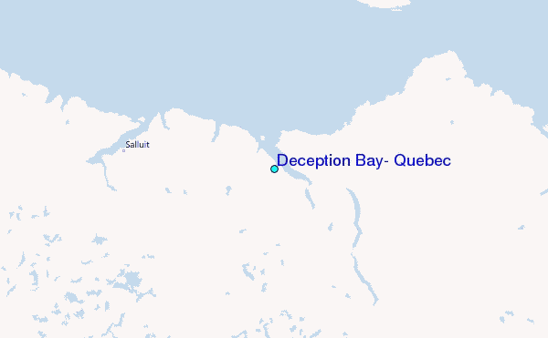