
| Distance / Altitude | Location | Report Date / Time | Live Weather | Wind | Gusts | Temp. | Visibility | Cloud |
|---|---|---|---|---|---|---|---|---|
| 201 km W / 503 m | Parc National Des Pingualuit- Que (Canada) | 2024-04-27 04:00 local (2024/04/27 08:00 GMT) | no report | strong winds from the SSW (43 km/h at 200) | -2°C | - | - | |
| 320 km SSE / 123 m | Kuujjuaq- Ua- Que (Canada) | 2024-04-27 04:00 local (2024/04/27 08:00 GMT) | no report | - (- km/h at -) | -3°C | - | - | |
| 322 km SSE / 216 m | Kuujjuaq Airport (Quebec) | 2024-04-27 03:00 local (2024/04/27 07:00 GMT) | Dry and partly cloudy | light winds from the S (13 km/h at 190) | -3°C | 24 | scattered broken | |
| 331 km NNE / 217 m | Frobisher/Iqaluit Airport (N.w. Territories) | 2024-04-27 03:00 local (2024/04/27 07:00 GMT) | no report | fresh winds from the SE (36 km/h at 140) | -8°C | 24 | broken broken - | |
| 368 km S / 171 m | Riviere Aux Feuilles- Que (Canada) | 2024-04-27 04:00 local (2024/04/27 08:00 GMT) | no report | moderate winds from the S (25 km/h at 190) | 5°C | - | - |
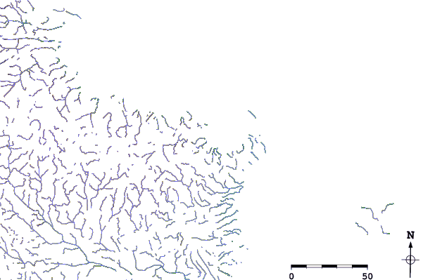
| Contours: | Roads & Rivers: | Select a
tide station / surf break / city |
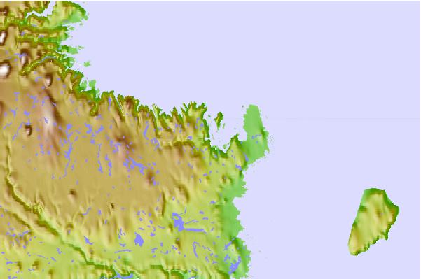
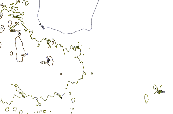
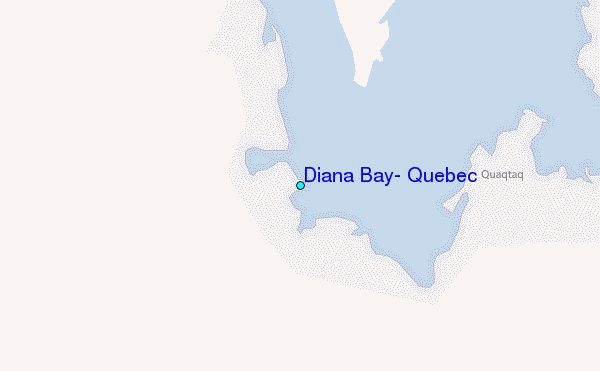
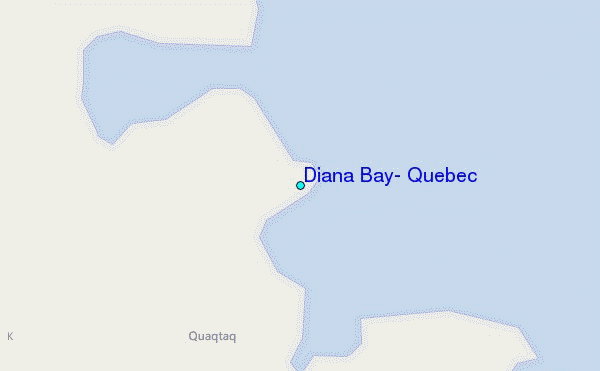
Use this relief map to navigate to tide stations, surf breaks and cities that are in the area of Diana Bay, Quebec.
Other Nearby Locations' tide tables and tide charts to Diana Bay, Quebec:
click location name for more details
 Surf breaks close to Diana Bay, Quebec:
|
||
|---|---|---|
| Closest surf break | Ingonish Beach | 1058 mi |
| Second closest surf break | Marathon | 1059 mi |
| Third closest surf break | Kennington Cove | 1112 mi |
| Fourth closest surf break | Alona Bay | 1113 mi |
| Fifth closest surf break | Michaud Point | 1124 mi |

 Nearest
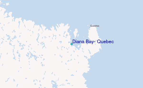