
| Distance / Altitude | Location | Report Date / Time | Live Weather | Wind | Gusts | Temp. | Visibility | Cloud |
|---|---|---|---|---|---|---|---|---|
| 274 km SSW / 108 m | KupangEltari (Indonesia) | 2024-04-28 07:30 local (2024/04/27 22:30 GMT) | - | light winds from the ESE (9 km/h at 120) | 27°C | 10.0 | few scattered - | |
| 286 km WSW / 0 m | LarantukaGewayantana (Indonesia) | 2024-04-28 06:00 local (2024/04/27 21:00 GMT) | - | light winds from the WSW (7 km/h at 250) | 27°C | 28 km | - few - | |
| 366 km SSW / 1 m | RoteLekunikBaa (Indonesia) | 2024-04-28 06:00 local (2024/04/27 21:00 GMT) | - | light winds from the ESE (7 km/h at 110) | 26°C | 30 km | - few - | |
| 368 km WSW / 3 m | MaumereWaiOti (Indonesia) | 2024-04-28 06:00 local (2024/04/27 21:00 GMT) | - | light winds from the SW (6 km/h at 230) | 27°C | 28 km | - few - | |
| 477 km WNW / 2 m | Bau-BauBetoAmbari (Indonesia) | 2024-04-28 06:00 local (2024/04/27 21:00 GMT) | State of sky unchanged | calm (4 km/h at 150) | 25°C | 28 km | mostly cloudy |
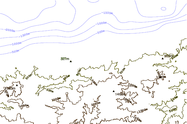
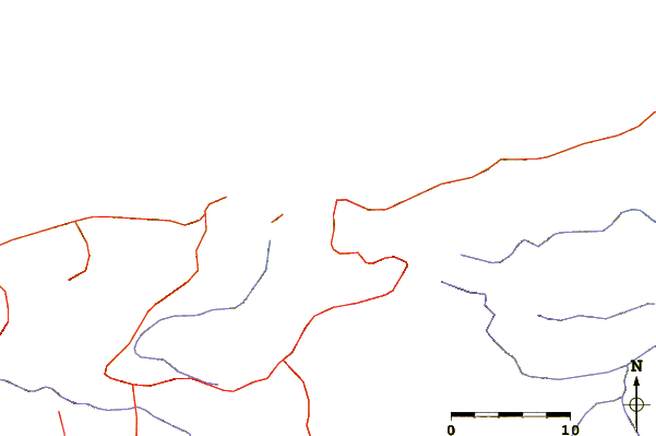
| Contours: | Roads & Rivers: | Select a
tide station / surf break / city |
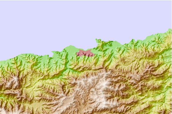
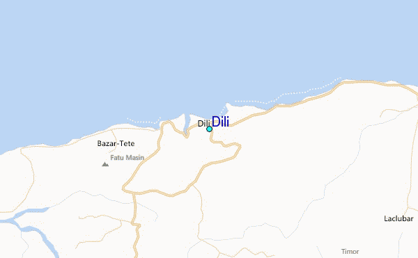
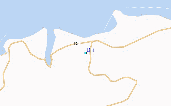
Use this relief map to navigate to tide stations, surf breaks and cities that are in the area of Dili.
Other Nearby Locations' tide tables and tide charts to Dili:
click location name for more details
 Surf breaks close to Dili:
|
||
|---|---|---|
| Closest surf break | Digger | 58 mi |
| Second closest surf break | Nembrala | 140 mi |
| Third closest surf break | Boa | 247 mi |
| Fourth closest surf break | Do'o | 247 mi |
| Fifth closest surf break | T-Land | 247 mi |

 Nearest
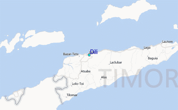