
| Distance / Altitude | Location | Report Date / Time | Live Weather | Wind | Gusts | Temp. | Visibility | Cloud |
|---|---|---|---|---|---|---|---|---|
| 19 km NW / 4 m | Cat Bi International Airport (Vietnam) | 2024-05-03 09:30 local (2024/05/03 02:30 GMT) | Light rain | light winds from the ENE (17 km/h at 70) | 25°C | 8.0 | broken | |
| 113 km W / 218 m | Hanoi/Noibai International Airport (Viet Nam) | 2024-05-03 09:30 local (2024/05/03 02:30 GMT) | Light rain | light winds from the E.(Wind varies from 030 to 170 degs) (7 km/h at 100) | — | 6.0 | few broken few | |
| 359 km N / 177 m | Baise (China) | 2024-05-03 08:00 local (2024/05/03 01:00 GMT) | mist | calm (4 km/h at 210) | 21°C | 5 | - - - | |
| 416 km S / 153 m | Nakhon Phanom Agromet (Thailand) | 2024-05-03 10:00 local (2024/05/03 03:00 GMT) | no report | calm (2 km/h at 160) | 32°C | 27 km | - mostly cloudy - | |
| 419 km S / 148 m | Nakhon Phanom (Thailand) | 2024-05-03 09:00 local (2024/05/03 02:00 GMT) | no report | calm (4 km/h at 70) | 31°C | - | - no observation - |
| Contours: | Roads & Rivers: | Select a
tide station / surf break / city |
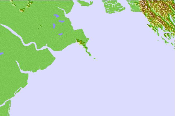
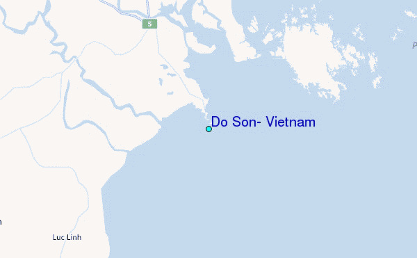
Use this relief map to navigate to tide stations, surf breaks and cities that are in the area of Do Son, Vietnam.
Other Nearby Locations' tide tables and tide charts to Do Son, Vietnam:
click location name for more details
 Surf breaks close to Do Son, Vietnam:
|
||
|---|---|---|
| Closest surf break | Dadonghai | 245 mi |
| Second closest surf break | Jinzonglu | 250 mi |
| Third closest surf break | Ocean Bay Golf Club | 259 mi |
| Fourth closest surf break | Riyue Bay (Riyuewan) | 264 mi |
| Fifth closest surf break | Binh An | 313 mi |

 Nearest
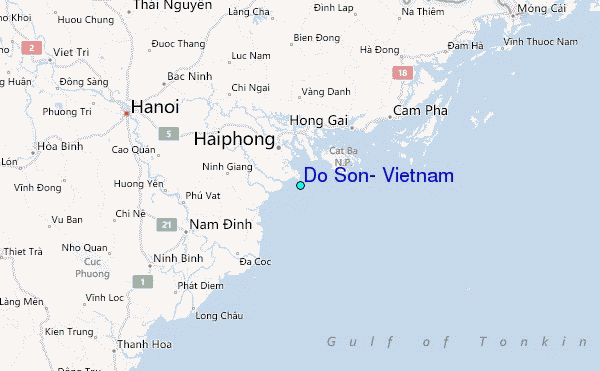