
| Distance / Altitude | Location | Report Date / Time | Live Weather | Wind | Gusts | Temp. | Visibility | Cloud |
|---|---|---|---|---|---|---|---|---|
| 16 km ENE / 218 m | White Plains Airport (New York) | 2024-04-30 22:06 local (2024/05/01 02:06 GMT) | Thunderstorm light rain thunderstorm | calm (0 km/h at 0) | 11°C | 14 | broken broken overcast | |
| 20 km SE / - m | SHIP3325 (ocean) | 2024-04-30 23:00 local (2024/05/01 03:00 GMT) | - | moderate winds from the E (25 km/h at 80) | 10°C | - | no observation | |
| 20 km SE / 3 m | BUOY-44022 (Marine) | 2024-04-30 23:15 local (2024/05/01 03:15 GMT) | light winds from the ENE (18 km/h at 70) | 10°C | - | |||
| 20 km SE / - m | SHIP2595 (ocean) | 2024-04-30 23:00 local (2024/05/01 03:00 GMT) | - | moderate winds from the E (25 km/h at 80) | 10°C | - | no observation | |
| 20 km SE / - m | SHIP6910 (ocean) | 2024-04-30 22:00 local (2024/05/01 02:00 GMT) | - | fresh winds from the E (29 km/h at 80) | 10°C | - | no observation |
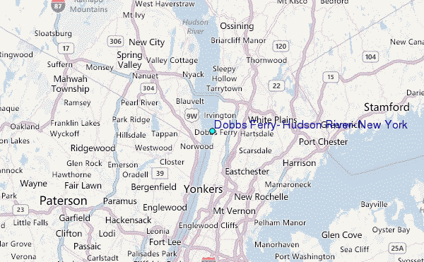
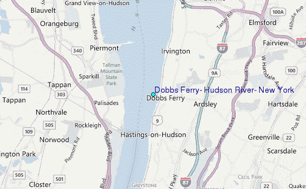
Choose Dobbs Ferry, Hudson River, New York Location Map Zoom:
| Contours: | Roads & Rivers: | Select a
tide station / surf break / city |
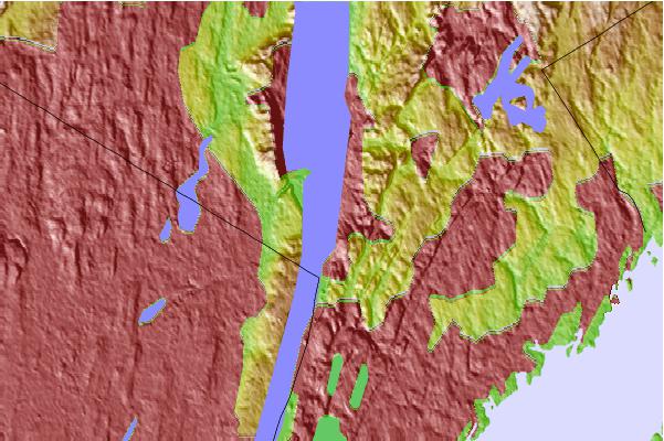
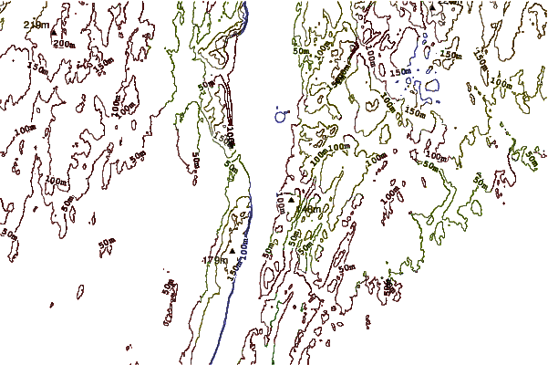
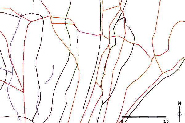
Use this relief map to navigate to tide stations, surf breaks and cities that are in the area of Dobbs Ferry, Hudson River, New York.
Other Nearby Locations' tide tables and tide charts to Dobbs Ferry, Hudson River, New York:
click location name for more details
 Surf breaks close to Dobbs Ferry, Hudson River, New York:
|
||
|---|---|---|
| Closest surf break | 92nd Street | 30 mi |
| Second closest surf break | Jones Beach | 31 mi |
| Third closest surf break | Rockaway | 31 mi |
| Fourth closest surf break | Connecticut Street Jetty | 32 mi |
| Fifth closest surf break | Grand Blvd | 32 mi |

 Nearest
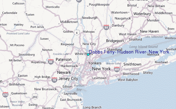