
| Distance / Altitude | Location | Report Date / Time | Live Weather | Wind | Gusts | Temp. | Visibility | Cloud |
|---|---|---|---|---|---|---|---|---|
| 14 km N / 71 m | Moncton A- NB (Canada) | 2024-04-28 18:00 local (2024/04/28 21:00 GMT) | no report | - (- km/h at -) | 13°C | - | - - - | |
| 15 km N / 217 m | Moncton Airport (New Brunswick) | 2024-04-28 19:00 local (2024/04/28 22:00 GMT) | Dry and partly cloudy | moderate winds from the SSE (24 km/h at 160) | 14°C | 24 | scattered broken | |
| 26 km WSW / 30 m | Price wx (Canada) | 2024-04-28 20:37 local (2024/04/28 23:37 GMT) | dry | calm (0 km/h at 351) | 13°C | - | - - 0 | |
| 42 km NNE / 9 m | Cocagne Cape Marina (Canada) | 2024-04-28 20:00 local (2024/04/28 23:00 GMT) | - | fresh winds from the SSE (31 km/h at 152) | 11°C | - | - - 0 | |
| 44 km SE / 20 m | Nappan (Nova scotia) | 2024-04-28 19:00 local (2024/04/28 22:00 GMT) | no report | light winds from the SSW (7 km/h at 200) | 10°C | 0.0 | - - - |
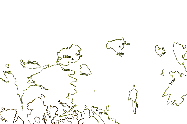
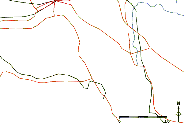
| Contours: | Roads & Rivers: | Select a
tide station / surf break / city |
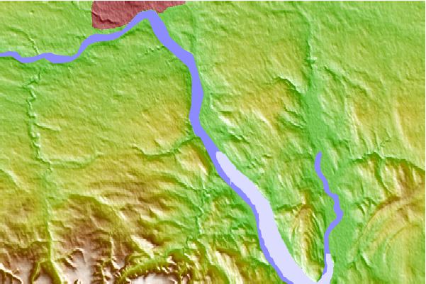
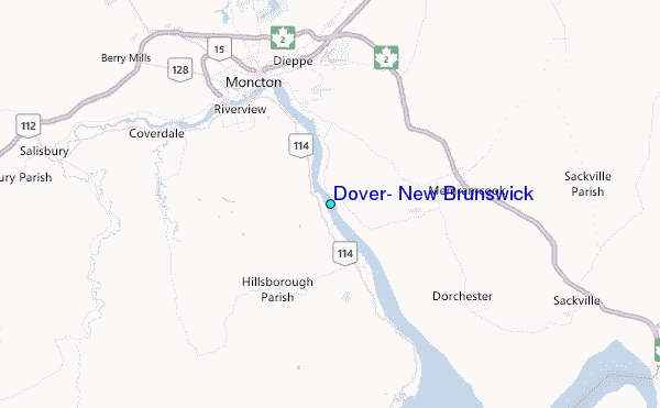
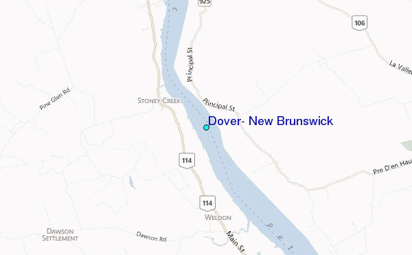
Use this relief map to navigate to tide stations, surf breaks and cities that are in the area of Dover, New Brunswick.
Other Nearby Locations' tide tables and tide charts to Dover, New Brunswick:
click location name for more details
 Surf breaks close to Dover, New Brunswick:
|
||
|---|---|---|
| Closest surf break | Backyards | 112 mi |
| Second closest surf break | Minutes | 112 mi |
| Third closest surf break | Cow Bay | 112 mi |
| Fourth closest surf break | Moose | 112 mi |
| Fifth closest surf break | Osbourne | 112 mi |

 Nearest
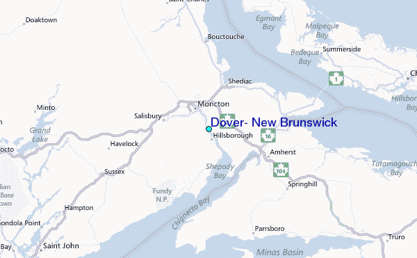