
| Distance / Altitude | Location | Report Date / Time | Live Weather | Wind | Gusts | Temp. | Visibility | Cloud |
|---|---|---|---|---|---|---|---|---|
| 311 km S / 48 m | Port Moresby (Papua New Guinea) | 2024-04-30 02:00 local (2024/04/29 16:00 GMT) | no report | light winds from the SSE (9 km/h at 160) | 27°C | 20 | - | |
| 314 km S / 359 m | Port Moresby International Airport (Papua New Guinea) | 2024-04-30 02:00 local (2024/04/29 16:00 GMT) | - | light winds from the N (6 km/h at 1) | 25°C | 10.0 | few | |
| 649 km SSW / 4 m | Coconut Island (Australia) | 2024-04-30 01:00 local (2024/04/29 15:00 GMT) | no report | - (- km/h at -) | 27°C | - | - - - | |
| 751 km SSW / 13 m | Horn Island Airport (Australia) | 2024-04-30 01:30 local (2024/04/29 15:30 GMT) | Dry and partly cloudy | fresh winds from the SE (30 km/h at 140) | 27°C | 10.0 | scattered scattered broken | |
| 752 km SSW / 5 m | Horn Island Automatic Weather Station (Australia) | 2024-04-30 02:00 local (2024/04/29 16:00 GMT) | no report | moderate winds from the SE (26 km/h at 140) | 27°C | - | - no observation - |
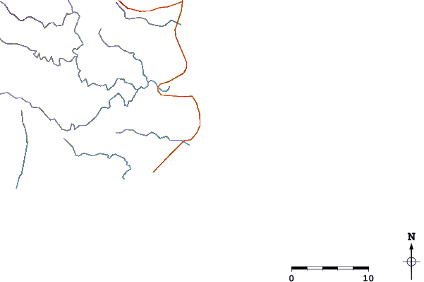
| Contours: | Roads & Rivers: | Select a
tide station / surf break / city |
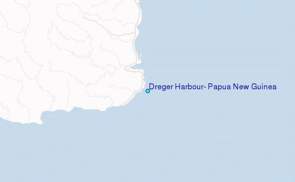
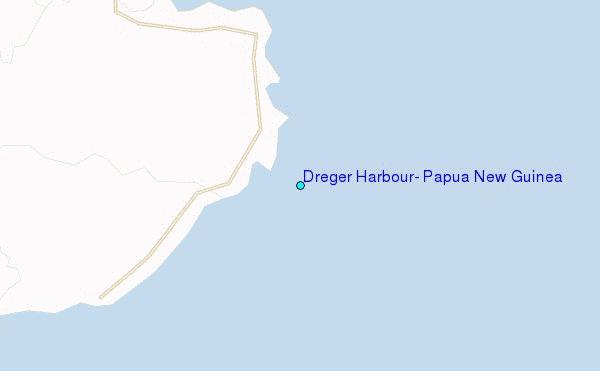
Use this relief map to navigate to tide stations, surf breaks and cities that are in the area of Dreger Harbour, Papua New Guinea.
Other Nearby Locations' tide tables and tide charts to Dreger Harbour, Papua New Guinea:
click location name for more details
 Surf breaks close to Dreger Harbour, Papua New Guinea:
|
||
|---|---|---|
| Closest surf break | Tupira Right | 226 mi |
| Second closest surf break | Edmago | 339 mi |
| Third closest surf break | Nago | 344 mi |
| Fourth closest surf break | Long Long | 345 mi |
| Fifth closest surf break | Nusa | 346 mi |

 Nearest
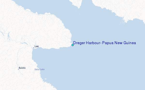