
| Distance / Altitude | Location | Report Date / Time | Live Weather | Wind | Gusts | Temp. | Visibility | Cloud |
|---|---|---|---|---|---|---|---|---|
| 246 km WNW / 15 m | SHIP6542 (Marine) | 2024-04-29 10:00 local (2024/04/29 00:00 GMT) | - (- km/h at -) | — | - km | |||
| 247 km W / 23 m | Gurney (Papua New Guinea) | 2024-04-29 12:00 local (2024/04/29 02:00 GMT) | haze | light winds from the SE (7 km/h at 140) | 30°C | 30 | - - - | |
| 600 km W / 359 m | Port Moresby International Airport (Papua New Guinea) | 2024-04-29 11:00 local (2024/04/29 01:00 GMT) | Dry and partly cloudy | light winds from the SSE (19 km/h at 150) | 32°C | 10.0 | scattered | |
| 602 km W / 48 m | Port Moresby (Papua New Guinea) | 2024-04-29 12:00 local (2024/04/29 02:00 GMT) | no report | calm (4 km/h at 160) | 32°C | 30 | - - - | |
| 615 km S / 472 m | Willis Island (Australia) | 2024-04-29 12:00 local (2024/04/29 02:00 GMT) | no report | strong winds from the ESE (43 km/h at 110) | 29°C | - | - no observation - |
Choose Duchateau Island, Papua New Guinea Location Map Zoom:
| Contours: | Roads & Rivers: | Select a
tide station / surf break / city |
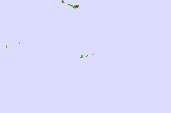
Use this relief map to navigate to tide stations, surf breaks and cities that are in the area of Duchateau Island, Papua New Guinea.
Other Nearby Locations' tide tables and tide charts to Duchateau Island, Papua New Guinea:
click location name for more details
 Surf breaks close to Duchateau Island, Papua New Guinea:
|
||
|---|---|---|
| Closest surf break | Pailongge | 374 mi |
| Second closest surf break | Titiana | 374 mi |
| Third closest surf break | Coves | 380 mi |
| Fourth closest surf break | Makuti | 380 mi |
| Fifth closest surf break | Despretes | 382 mi |

 Nearest