
| Distance / Altitude | Location | Report Date / Time | Live Weather | Wind | Gusts | Temp. | Visibility | Cloud |
|---|---|---|---|---|---|---|---|---|
| 63 km SSW / 82 m | Kuujjuarapik Airport (Canada) | 2024-04-28 23:00 local (2024/04/29 03:00 GMT) | - | light winds from the NW (6 km/h at 310) | — | - | no observation | |
| 65 km SSW / 164 m | Kuujjuarapik Airport (Quebec) | 2024-04-28 23:35 local (2024/04/29 03:35 GMT) | Light snow | light winds from the N (6 km/h at 350) | -7°C | 14 | overcast | |
| 155 km WNW / 1 m | Sanikiluaq (Canada) | 2024-04-28 23:00 local (2024/04/29 03:00 GMT) | - | light winds from the WNW (13 km/h at 290) | -11°C | - | no observation | |
| 238 km S / 195 m | LAGrandeRiviere A- Que (Canada) | 2024-04-28 23:00 local (2024/04/29 03:00 GMT) | no report | calm (4 km/h at 340) | -9°C | 44 km | - scattered - | |
| 240 km S / 217 m | La Grande Rivier Airport (Quebec) | 2024-04-28 23:00 local (2024/04/29 03:00 GMT) | Dry and partly cloudy | light winds from the N.(Wind varies from 300 to 020 degs) (6 km/h at 350) | -8°C | 24 | scattered |
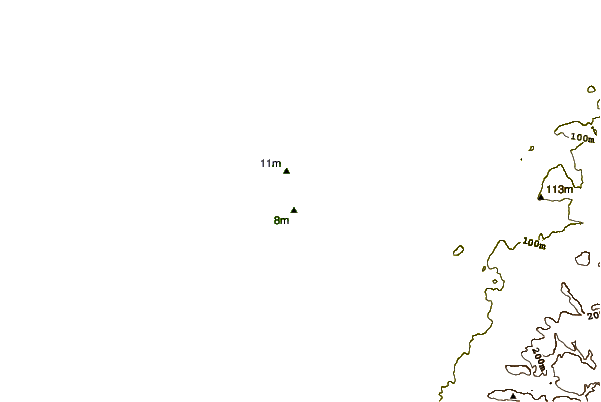
| Contours: | Roads & Rivers: | Select a
tide station / surf break / city |

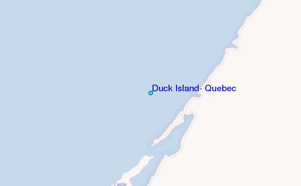
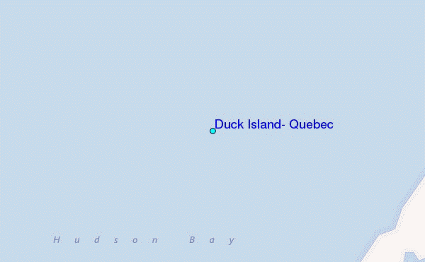
Use this relief map to navigate to tide stations, surf breaks and cities that are in the area of Duck Island, Quebec.
Other Nearby Locations' tide tables and tide charts to Duck Island, Quebec:
click location name for more details
 Surf breaks close to Duck Island, Quebec:
|
||
|---|---|---|
| Closest surf break | Marathon | 625 mi |
| Second closest surf break | Alona Bay | 675 mi |
| Third closest surf break | Manitoulin Island | 730 mi |
| Fourth closest surf break | Bayfield | 730 mi |
| Fifth closest surf break | Au Sable Point | 736 mi |

 Nearest
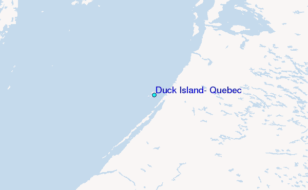