
| Distance / Altitude | Location | Report Date / Time | Live Weather | Wind | Gusts | Temp. | Visibility | Cloud |
|---|---|---|---|---|---|---|---|---|
| 412 km W / 359 m | Port Moresby International Airport (Papua New Guinea) | 2024-05-19 00:00 local (2024/05/18 14:00 GMT) | Dry and partly cloudy | light winds from the SE (19 km/h at 130) | 26°C | 10.0 | few scattered | |
| 413 km W / 48 m | Port Moresby W.o. (Papua New Guinea) | 2024-05-18 23:00 local (2024/05/18 13:00 GMT) | no report | calm (4 km/h at 140) | 26°C | 20 | - - - | |
| 678 km S / 9 m | Willis Island (Australia) | 2024-05-19 00:00 local (2024/05/18 14:00 GMT) | no report | strong winds from the SSE (39 km/h at 150) | 25°C | - | - | |
| 710 km SSW / 13 m | Bougainville Reef (Australia) | 2024-05-19 00:00 local (2024/05/18 14:00 GMT) | no report | strong winds from the SE (39 km/h at 130) | 26°C | - | - - - | |
| 732 km ENE / 6 m | Munda-new Georgia (Solomon Islands) | 2024-05-19 00:00 local (2024/05/18 14:00 GMT) | haze | light winds from the SE (9 km/h at 140) | 27°C | 10 | - - - |
| Contours: | Roads & Rivers: | Select a
tide station / surf break / city |
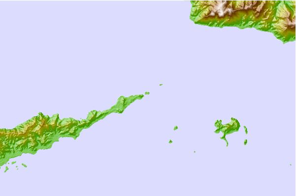
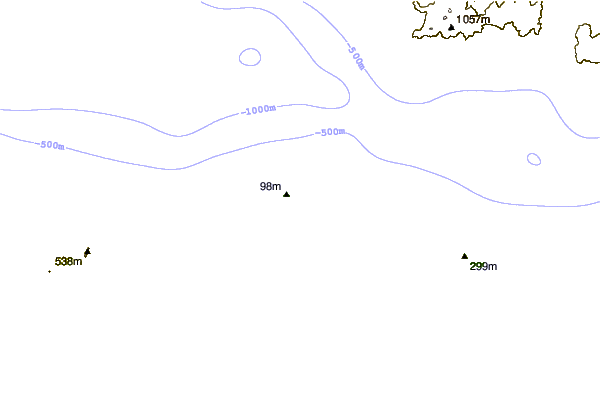
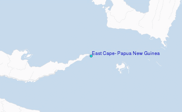
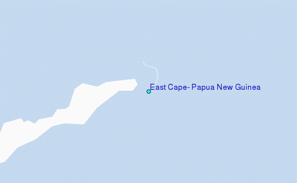
Use this relief map to navigate to tide stations, surf breaks and cities that are in the area of East Cape, Papua New Guinea.
Other Nearby Locations' tide tables and tide charts to East Cape, Papua New Guinea:
click location name for more details
 Surf breaks close to East Cape, Papua New Guinea:
|
||
|---|---|---|
| Closest surf break | Raiven | 415 mi |
| Second closest surf break | Duke of York | 428 mi |
| Third closest surf break | Pailongge | 429 mi |
| Fourth closest surf break | Titiana | 431 mi |
| Fifth closest surf break | Makuti | 439 mi |

 Nearest
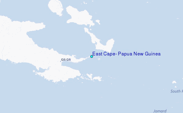