
| Distance / Altitude | Location | Report Date / Time | Live Weather | Wind | Gusts | Temp. | Visibility | Cloud |
|---|---|---|---|---|---|---|---|---|
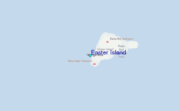
| 3 km ESE / 46 m | Easter Island (Chile) | 2024-05-03 01:00 local (2024/05/03 06:00 GMT) | State of sky unchanged | light winds from the E (19 km/h at 90) | 21°C | 10.0 | few few - | |
| 47 km SSE / 15 m | ASCATC251E28S (Marine) | 2024-05-03 00:27 local (2024/05/03 05:27 GMT) | fresh winds from the E (38 km/h at 86) | — | - km | |||
| 52 km SE / 15 m | ASCATB251E28S (Marine) | 2024-05-02 23:35 local (2024/05/03 04:35 GMT) | fresh winds from the E (37 km/h at 85) | — | - km | |||
| 69 km N / 15 m | ASCATC251E27S (Marine) | 2024-05-03 00:27 local (2024/05/03 05:27 GMT) | fresh winds from the E (36 km/h at 90) | — | - km | |||
| 75 km NNE / 15 m | ASCATB251E27S (Marine) | 2024-05-02 23:35 local (2024/05/03 04:35 GMT) | fresh winds from the E (34 km/h at 92) | — | - km |
| Contours: | Roads & Rivers: | Select a
tide station / surf break / city |
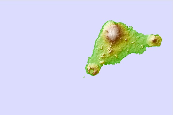
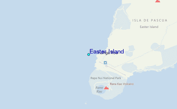
Use this relief map to navigate to tide stations, surf breaks and cities that are in the area of Easter Island.
Other Nearby Locations' tide tables and tide charts to Easter Island:
click location name for more details
 Surf breaks close to Easter Island:
|
||
|---|---|---|
| Closest surf break | Motu Hava | 1 mi |
| Second closest surf break | Mata Veri | 1 mi |
| Third closest surf break | Tahai | 1 mi |
| Fourth closest surf break | Toroko | 1 mi |
| Fifth closest surf break | Viri Inga O Tuki | 3 mi |

 Nearest