
| Distance / Altitude | Location | Report Date / Time | Live Weather | Wind | Gusts | Temp. | Visibility | Cloud |
|---|---|---|---|---|---|---|---|---|
| 85 km NNE / 70 m | Yuma (Arizona) | 2024-04-27 06:46 local (2024/04/27 13:46 GMT) | - | light winds from the N (13 km/h at 355) | — | - | - - 0 | |
| 97 km N / 103 m | Wellton Airport (Arizona) (Arizona) | 2024-04-27 07:59 local (2024/04/27 14:59 GMT) | - | light winds from the W (7 km/h at 260) | 17°C | 0.0 | ||
| 106 km ESE / 61 m | PuertoPenasco-Son. (Mexico) | 2024-04-27 09:00 local (2024/04/27 16:00 GMT) | no report | light winds from the W (7 km/h at 270) | 20°C | 50 km | - clear - | |
| 107 km ESE / 9 m | Puerto Penasco Airport (Mexico) | 2024-04-27 08:40 local (2024/04/27 15:40 GMT) | - | light winds from the NW (15 km/h at 310) | — | 16 | ||
| 109 km N / 218 m | Yuma Marine Corps Air Station Airport (Arizona) | 2024-04-27 07:57 local (2024/04/27 14:57 GMT) | Clear | light winds from the W (17 km/h at 270) | 17°C | 16 |
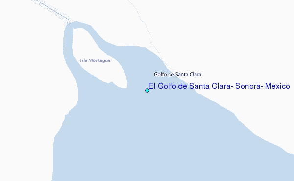
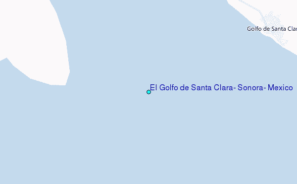
Choose El Golfo de Santa Clara, Sonora, Mexico Location Map Zoom:
| Contours: | Roads & Rivers: | Select a
tide station / surf break / city |
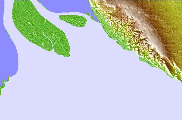
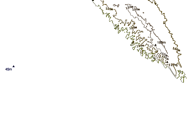
Use this relief map to navigate to tide stations, surf breaks and cities that are in the area of El Golfo de Santa Clara, Sonora, Mexico.
Other Nearby Locations' tide tables and tide charts to El Golfo de Santa Clara, Sonora, Mexico:
click location name for more details
 Surf breaks close to El Golfo de Santa Clara, Sonora, Mexico:
|
||
|---|---|---|
| Closest surf break | Camalu | 106 mi |
| Second closest surf break | Playa San Ramon | 107 mi |
| Third closest surf break | Punta San Jacinto (Shipwrecks) | 107 mi |
| Fourth closest surf break | Rincon De Baja | 107 mi |
| Fifth closest surf break | Roberts Left | 108 mi |

 Nearest
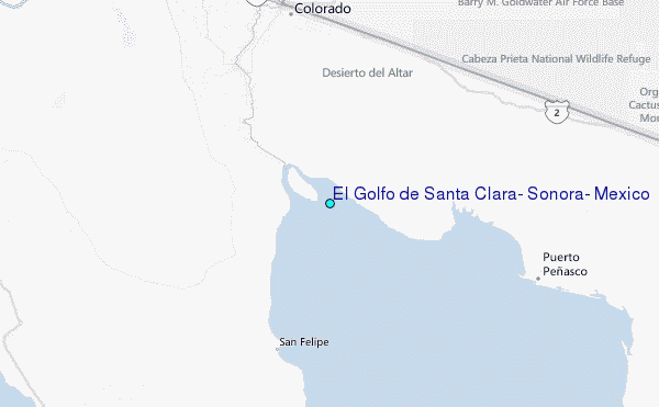