
| Distance / Altitude | Location | Report Date / Time | Live Weather | Wind | Gusts | Temp. | Visibility | Cloud |
|---|---|---|---|---|---|---|---|---|
| 75 km NW / 363 m | Tijuana International Airport (Mexico) | 2024-04-29 02:40 local (2024/04/29 09:40 GMT) | - | calm (0 km/h at 0) | — | 11 | ||
| 81 km NW / 218 m | San Diego/Brown Field Municipal Airport (California) | 2024-04-29 02:28 local (2024/04/29 09:28 GMT) | Mist - | calm (0 km/h at 0) | 10°C | 8 | ||
| 83 km NNE / 825 m | Cameron Corners wx (United States) | 2024-04-29 03:23 local (2024/04/29 10:23 GMT) | dry | calm (3 km/h at 66) | 4°C | - | - - 0 | |
| 85 km NW / 218 m | Imperial Beach Airport (California) | 2024-04-29 01:53 local (2024/04/29 08:53 GMT) | - | calm (0 km/h at 0) | — | 0.0 | - - - | |
| 86 km NW / 3 m | BUOY-TIXC1 (Marine) | 2024-04-29 02:45 local (2024/04/29 09:45 GMT) | - (0 km/h at -) | 12°C | - |
| Contours: | Roads & Rivers: | Select a
tide station / surf break / city |
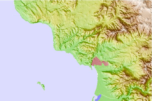
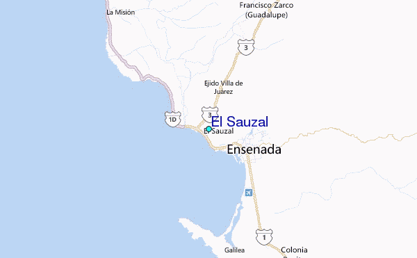
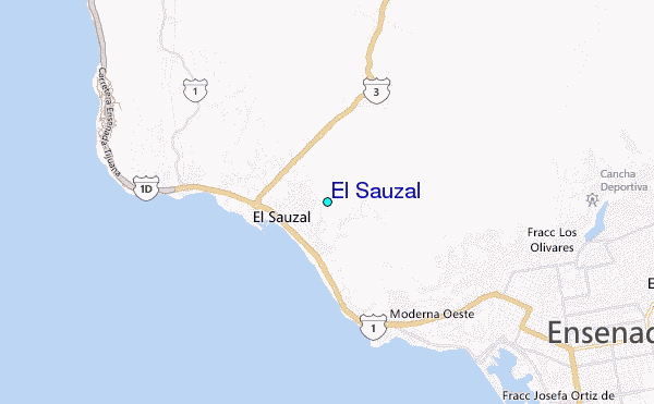
Use this relief map to navigate to tide stations, surf breaks and cities that are in the area of El Sauzal.
Other Nearby Locations' tide tables and tide charts to El Sauzal:
click location name for more details
 Surf breaks close to El Sauzal:
|
||
|---|---|---|
| Closest surf break | 3Ms | 1 mi |
| Second closest surf break | Cannery (Stacks) | 2 mi |
| Third closest surf break | California Trailer Park | 3 mi |
| Fourth closest surf break | San Miguel | 4 mi |
| Fifth closest surf break | Islas de Todos Santos | 4 mi |

 Nearest
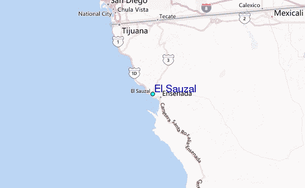