
| Distance / Altitude | Location | Report Date / Time | Live Weather | Wind | Gusts | Temp. | Visibility | Cloud |
|---|---|---|---|---|---|---|---|---|
| 121 km NE / 74 m | Adeiso-Ndoda (Ghana) | 2024-04-29 21:00 local (2024/04/29 21:00 GMT) | - | calm (4 km/h at 319) | 27°C | - | - - 0 | |
| 142 km ENE / 197 m | Accra/Kotoka International Airport (Ghana) | 2024-04-29 20:00 local (2024/04/29 20:00 GMT) | - | light winds from the WSW (11 km/h at 240) | 30°C | 10.0 | few | |
| 183 km NE / 90 m | Somanya USED (Ghana) | 2024-04-29 21:00 local (2024/04/29 21:00 GMT) | - | calm (4 km/h at 191) | 28°C | - | - - 0 | |
| 281 km NW / 329 m | Techiman NOG-Farm (Ghana) | 2024-04-29 21:00 local (2024/04/29 21:00 GMT) | - | calm (0 km/h at 81) | 24°C | - | - - 0 | |
| 285 km WSW / 218 m | Abidjan Port Bou Airport (Cote D'ivoire) | 2024-04-29 20:30 local (2024/04/29 20:30 GMT) | - | light winds from the SW (11 km/h at 230) | 30°C | 10.0 | few |
| Contours: | Roads & Rivers: | Select a
tide station / surf break / city |
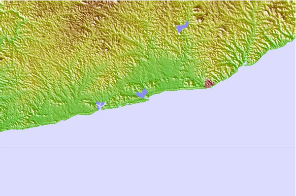
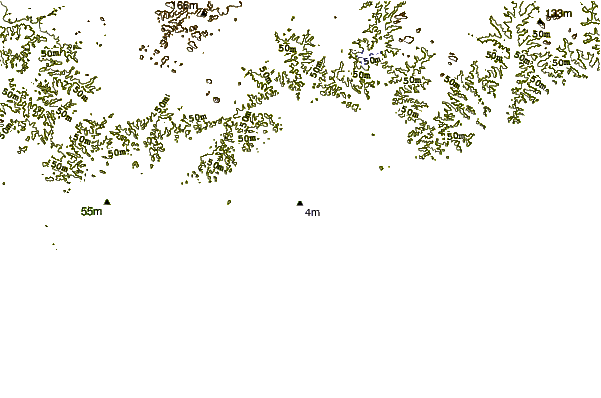
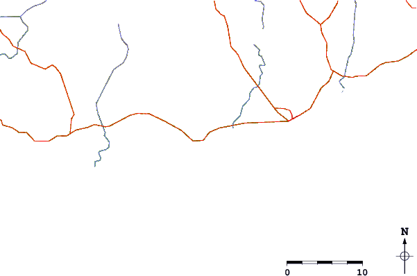
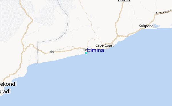
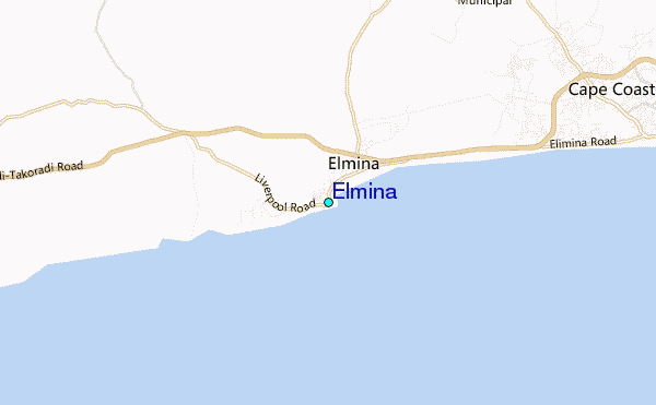
Use this relief map to navigate to tide stations, surf breaks and cities that are in the area of Elmina.
Other Nearby Locations' tide tables and tide charts to Elmina:
click location name for more details
 Surf breaks close to Elmina:
|
||
|---|---|---|
| Closest surf break | Elmina | 2 mi |
| Second closest surf break | University | 10 mi |
| Third closest surf break | Fort Sebastian | 21 mi |
| Fourth closest surf break | Takoradi | 31 mi |
| Fifth closest surf break | Mumford | 43 mi |

 Nearest
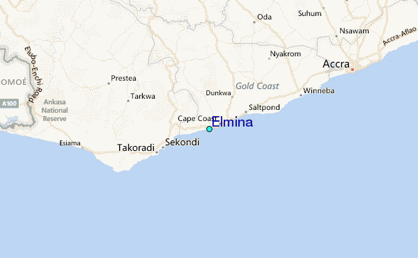