
| Distance / Altitude | Location | Report Date / Time | Live Weather | Wind | Gusts | Temp. | Visibility | Cloud |
|---|---|---|---|---|---|---|---|---|
| 264 km SE / 108 m | KupangEltari (Indonesia) | 2024-04-30 04:30 local (2024/04/29 20:30 GMT) | Dry and partly cloudy | light winds from the SE (7 km/h at 140) | 26°C | 10.0 | no cloud few - | |
| 408 km ENE / 15 m | SHIP9202 (Marine) | 2024-04-30 03:00 local (2024/04/29 19:00 GMT) | fresh winds from the SSW (37.080000000000005 km/h at 200) | — | 17.7 km | |||
| 482 km NW / 217 m | Hasanuddin/Ujung Airport (Indonesia) | 2024-04-30 04:30 local (2024/04/29 20:30 GMT) | - | calm (0 km/h at 0) | 25°C | 8.0 | few | |
| 592 km WSW / 97 m | Bandara Airport (Indonesia) | 2024-04-30 04:00 local (2024/04/29 20:00 GMT) | Dry and partly cloudy | light winds from the SSE (6 km/h at 150) | 27°C | 8.0 | broken | |
| 714 km WSW / 216 m | Bali International Airport (Indonesia) | 2024-04-30 04:30 local (2024/04/29 20:30 GMT) | - | light winds from the ESE (19 km/h at 120) | 27°C | 10.0 | few |
| Contours: | Roads & Rivers: | Select a
tide station / surf break / city |
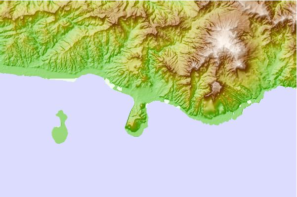
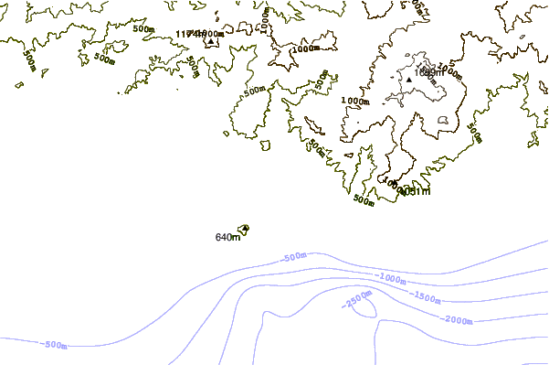
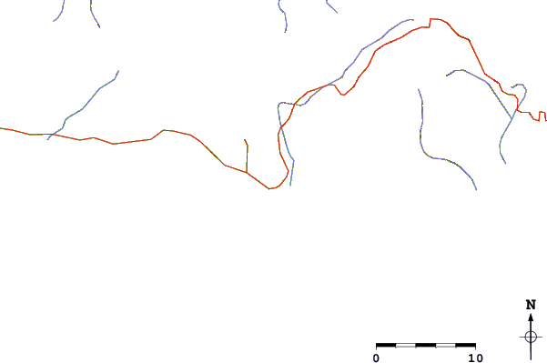
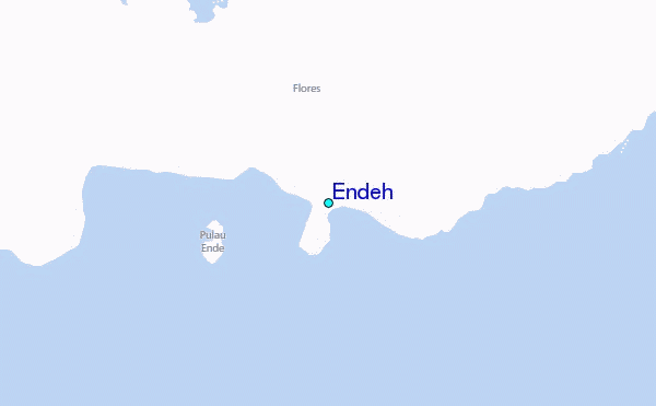
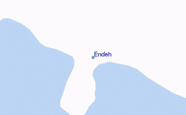
Use this relief map to navigate to tide stations, surf breaks and cities that are in the area of Endeh.
Other Nearby Locations' tide tables and tide charts to Endeh:
click location name for more details
 Surf breaks close to Endeh:
|
||
|---|---|---|
| Closest surf break | Savu Left | 116 mi |
| Second closest surf break | Savu Right | 117 mi |
| Third closest surf break | The Wedge (Raijua) | 124 mi |
| Fourth closest surf break | Pulau Dana | 139 mi |
| Fifth closest surf break | Millers Rights | 141 mi |

 Nearest
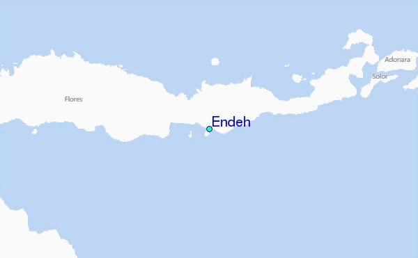