
| Distance / Altitude | Location | Report Date / Time | Live Weather | Wind | Gusts | Temp. | Visibility | Cloud |
|---|---|---|---|---|---|---|---|---|
| 1 km NE / 3 m | BUOY-PCXA2 (Marine) | 2024-04-28 13:03 local (2024/04/28 21:03 GMT) | calm (5 km/h at 230) | 8°C | - | |||
| 19 km ENE / 210 m | Angoon Seaplane Base Airport (United States) | 2024-04-28 11:56 local (2024/04/28 19:56 GMT) | Dry and partly cloudy | light winds from the S.(Wind varies from 150 to 230 degs) (17 km/h at 190) | 9°C | 16 | broken broken | |
| 42 km NW / 3 m | BUOY-TKEA2 (Marine) | 2024-04-28 13:02 local (2024/04/28 21:02 GMT) | light winds from the ESE (9 km/h at 110) | 9°C | - | |||
| 48 km SSW / 3 m | BUOY-STXA2 (Marine) | 2024-04-28 13:02 local (2024/04/28 21:02 GMT) | light winds from the SSW (9 km/h at 210) | 8°C | - | |||
| 50 km SSE / 3 m | BUOY-PGXA2 (Marine) | 2024-04-28 13:03 local (2024/04/28 21:03 GMT) | light winds from the ESE (9 km/h at 120) | 8°C | - |
| Contours: | Roads & Rivers: | Select a
tide station / surf break / city |
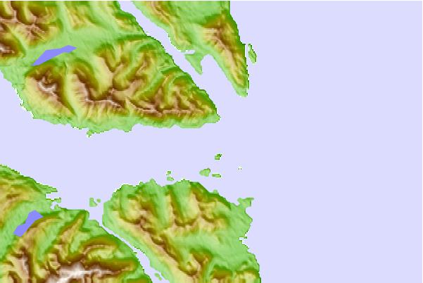
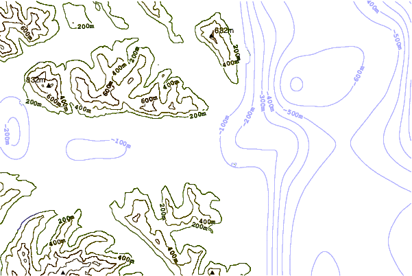
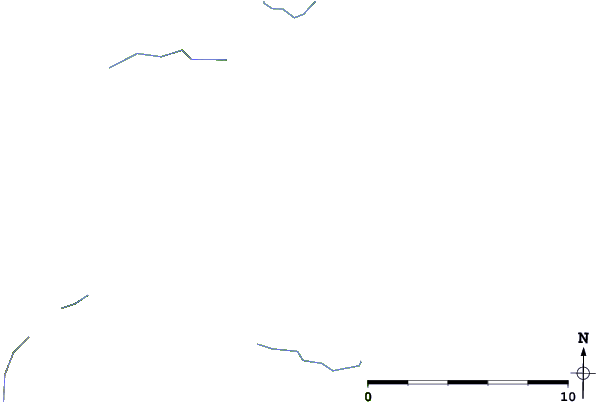
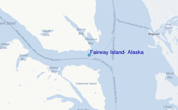
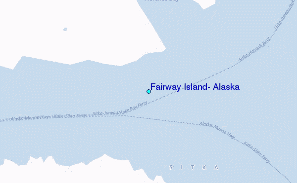
Use this relief map to navigate to tide stations, surf breaks and cities that are in the area of Fairway Island, Alaska.
Other Nearby Locations' tide tables and tide charts to Fairway Island, Alaska:
click location name for more details
 Surf breaks close to Fairway Island, Alaska:
|
||
|---|---|---|
| Closest surf break | Cannon Beach | 226 mi |
| Second closest surf break | Graveyards | 230 mi |
| Third closest surf break | Ocean Cape | 231 mi |
| Fourth closest surf break | Lepus Beach (Haida-Gwaii) | 238 mi |
| Fifth closest surf break | Tow Hill Beach | 262 mi |

 Nearest
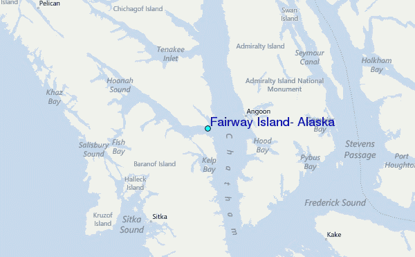