
| Distance / Altitude | Location | Report Date / Time | Live Weather | Wind | Gusts | Temp. | Visibility | Cloud |
|---|---|---|---|---|---|---|---|---|
| 29 km E / 10 m | FortRoss-NU (Canada) | 2024-04-27 17:00 local (2024/04/27 21:00 GMT) | - | calm (4 km/h at 330) | -19°C | - | no observation | |
| 304 km N / 113 m | ResoluteUa-NU (Canada) | 2024-04-27 17:00 local (2024/04/27 21:00 GMT) | - | light winds from the SSE (11 km/h at 160) | -19°C | 40 km | scattered | |
| 305 km N / 139 m | Resolute (Canada) | 2024-04-27 17:00 local (2024/04/27 21:00 GMT) | - | light winds from the S (11 km/h at 170) | -19°C | - | no observation | |
| 305 km N / 216 m | Resolute Airport (N.w. Territories) | 2024-04-27 16:00 local (2024/04/27 20:00 GMT) | Ice crystals | light winds from the SSE (13 km/h at 160) | -19°C | 40 | few few | |
| 305 km N / 30 m | Resolute CS Airport (Nunavut) | 2024-04-27 16:00 local (2024/04/27 20:00 GMT) | no report | light winds from the SSE (11 km/h at 160) | -19°C | 0.0 | - - - |
| Contours: | Roads & Rivers: | Select a
tide station / surf break / city |
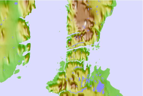
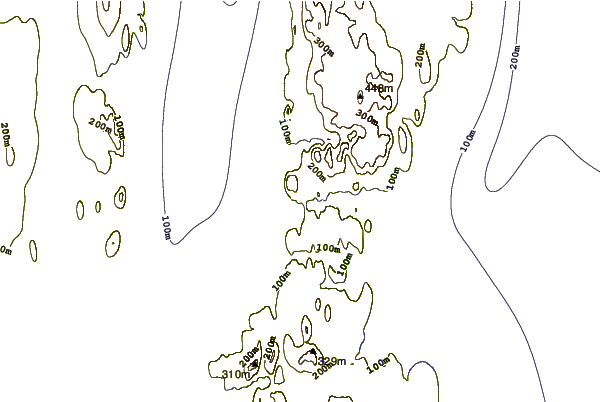
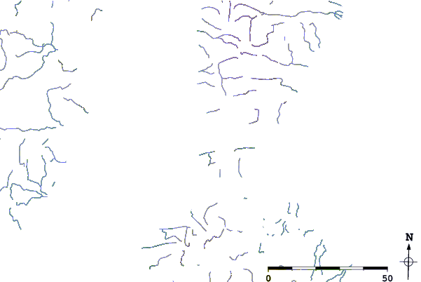
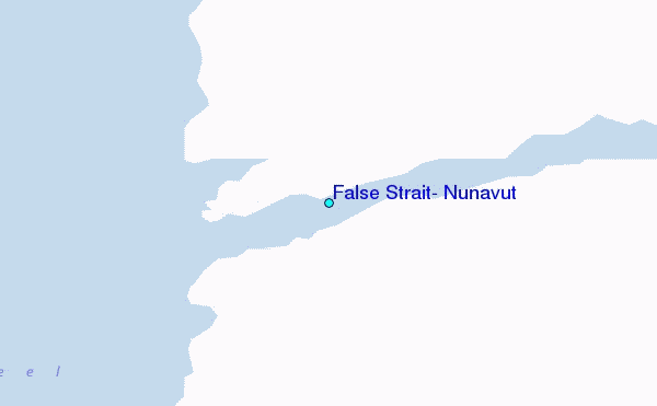
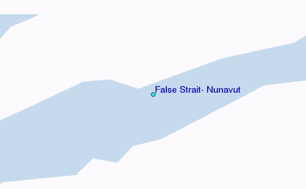
Use this relief map to navigate to tide stations, surf breaks and cities that are in the area of False Strait, Nunavut.
Other Nearby Locations' tide tables and tide charts to False Strait, Nunavut:
click location name for more details
 Surf breaks close to False Strait, Nunavut:
|
||
|---|---|---|
| Closest surf break | Graveyards | 1482 mi |
| Second closest surf break | Cannon Beach | 1484 mi |
| Third closest surf break | Ocean Cape | 1484 mi |
| Fourth closest surf break | Marathon | 1630 mi |
| Fifth closest surf break | Tow Hill Beach | 1643 mi |

 Nearest
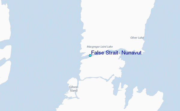