
| Distance / Altitude | Location | Report Date / Time | Live Weather | Wind | Gusts | Temp. | Visibility | Cloud |
|---|---|---|---|---|---|---|---|---|
| 10 km SW / 3 m | SHIP887 (Marine) | 2024-04-28 02:00 local (2024/04/28 01:00 GMT) | - (- km/h at -) | 8°C | - | |||
| 17 km NE / 230 m | Mercury (United Kingdom) | 2024-04-28 03:00 local (2024/04/28 02:00 GMT) | - | moderate winds from the N (28 km/h at 353) | 6°C | - | - - 0 | |
| 19 km ESE / 4 m | Thorney Island (United Kingdom) | 2024-04-28 03:00 local (2024/04/28 02:00 GMT) | intermittent light rain | moderate winds from the NNE (20 km/h at 20) | 8°C | 4900 | - | |
| 19 km ESE / 4 m | ThorneyIsland (United Kingdom) | 2024-04-28 03:00 local (2024/04/28 02:00 GMT) | intermittent light rain | moderate winds from the NNE (20 km/h at 20) | 8°C | 4900 | - overcast - | |
| 20 km SE / 3 m | Hayling Island Waverider (Marine) | 2024-04-28 02:24 local (2024/04/28 01:24 GMT) | - (- km/h at -) | — | - |
| Contours: | Roads & Rivers: | Select a
tide station / surf break / city |
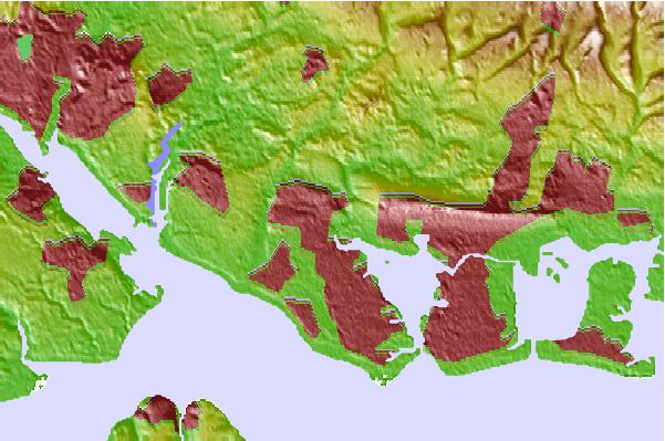
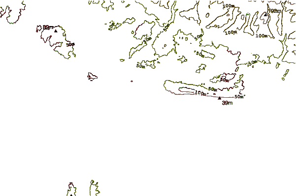
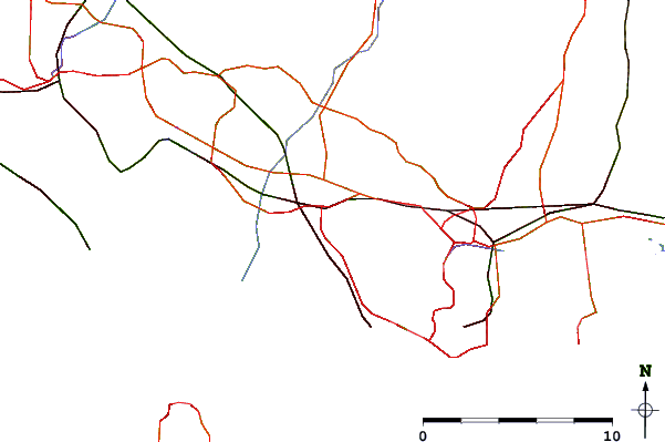
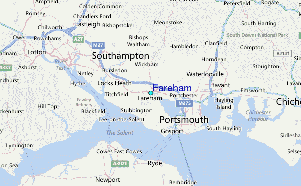
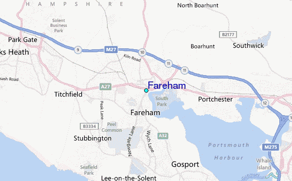
Use this relief map to navigate to tide stations, surf breaks and cities that are in the area of Fareham.
Other Nearby Locations' tide tables and tide charts to Fareham:
click location name for more details
 Surf breaks close to Fareham:
|
||
|---|---|---|
| Closest surf break | Hayling Island | 10 mi |
| Second closest surf break | West Wittering | 12 mi |
| Third closest surf break | Whitecliff Bay | 13 mi |
| Fourth closest surf break | East Wittering | 14 mi |
| Fifth closest surf break | Bracklesham | 16 mi |

 Nearest
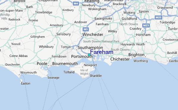