
| Distance / Altitude | Location | Report Date / Time | Live Weather | Wind | Gusts | Temp. | Visibility | Cloud |
|---|---|---|---|---|---|---|---|---|
| 3 km NW / 3 m | BUOY-ADKA2 (Marine) | 2024-04-26 20:00 local (2024/04/27 05:00 GMT) | moderate winds from the W (22 km/h at 280) | 4°C | - | |||
| 6 km NW / 506 m | Adak Naval Air Station Airport (Alaska) | 2024-04-26 18:56 local (2024/04/27 03:56 GMT) | Dry and partly cloudy | light winds from the NNW (19 km/h at 330) | 4°C | 16 | scattered | |
| 171 km ENE / 211 m | Atka Airport (Alaska) | 2024-04-26 19:30 local (2024/04/27 04:30 GMT) | Dry and partly cloudy | moderate winds from the WNW (22 km/h at 300) | 3°C | 16 | few scattered broken | |
| 173 km ENE / 3 m | BUOY-ATKA2 (Marine) | 2024-04-26 20:00 local (2024/04/27 05:00 GMT) | light winds from the NW (18 km/h at 320) | 4°C | - | |||
| 311 km E / - m | SHIP8241 (ocean) | 2024-04-26 20:00 local (2024/04/27 05:00 GMT) | - | fresh winds from the NW (29 km/h at 320) | — | - | no observation |
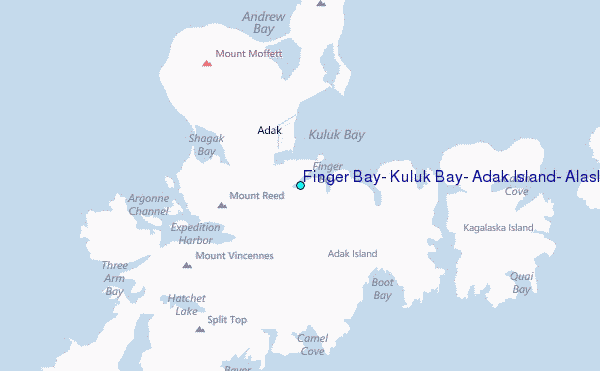
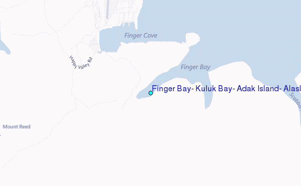
Choose Finger Bay, Kuluk Bay, Adak Island, Alaska Location Map Zoom:
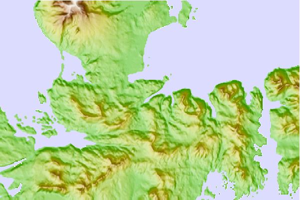
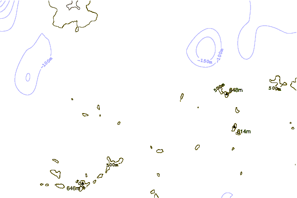
| Contours: | Roads & Rivers: | Select a
tide station / surf break / city |
Use this relief map to navigate to tide stations, surf breaks and cities that are in the area of Finger Bay, Kuluk Bay, Adak Island, Alaska.
Other Nearby Locations' tide tables and tide charts to Finger Bay, Kuluk Bay, Adak Island, Alaska:
click location name for more details
 Surf breaks close to Finger Bay, Kuluk Bay, Adak Island, Alaska:
|
||
|---|---|---|
| Closest surf break | Khalaktyrsky Beach | 1032 mi |
| Second closest surf break | Fossil Beach Kodiak | 1038 mi |
| Third closest surf break | Monashka Bay | 1041 mi |
| Fourth closest surf break | Termination Point | 1043 mi |
| Fifth closest surf break | Mill Bay | 1044 mi |

 Nearest